


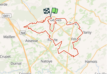


12,6 km | 15,6 km-effort

Destination Condroz-Famenne- une nature préservée PRO


Kostenlosegpshiking-Anwendung
 SityTrail
IGN / Geografische Institute
SityTrail World
Die Welt öffnet sich für Sie
Tour Wandern von 43 km verfügbar auf Wallonien, Namur, Gesves. Diese Tour wird von Vallées des Saveurs - Maison du Tourisme Condroz-Famenne vorgeschlagen.
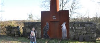
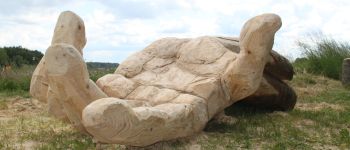
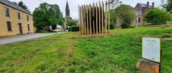
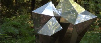
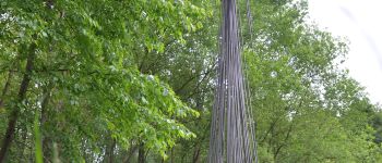
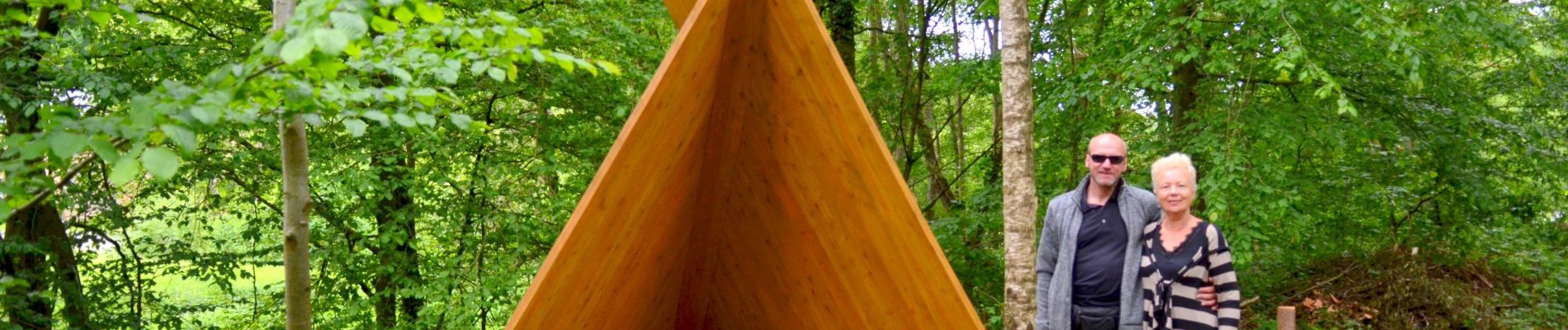
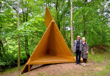
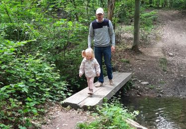
Cette boucle de 43km vous offre le grand bonheur de ne passer que par très peu de route et vous fera découvrir 18 oeuvres !


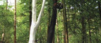
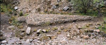
22 Fotos insgesamt. Klicken Sie auf ein Foto, um sie alle in der Galerie zu sehen.
Wandern

Wandern

Wandern

Wandern

Wandern

Wandern
Wandern
Wandern

Mountainbike