


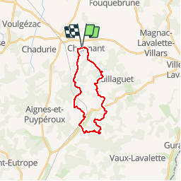

9,3 km | 11,4 km-effort


Benutzer


Kostenlosegpshiking-Anwendung
 SityTrail
IGN / Geografische Institute
SityTrail World
Die Welt öffnet sich für Sie
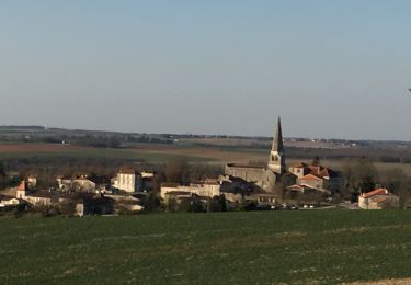
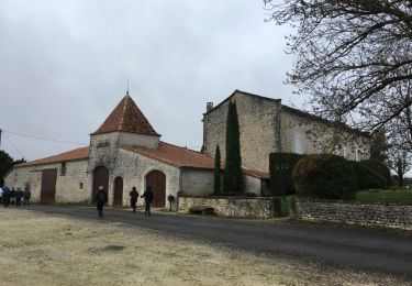
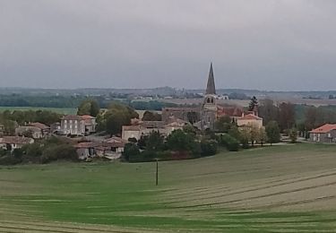
Tour Pferd von 21 km verfügbar auf Neu-Aquitanien, Charente, Boisné-la-Tude. Diese Tour wird von jmrobin vorgeschlagen.
Circuit proposé dans le cadre de Charmant à Chevall. Attention, certains chemins sont privés donc peuvent être inaccessibles en temps normal.
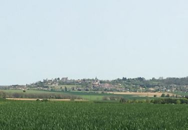
Wandern
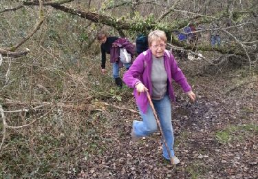
Wandern
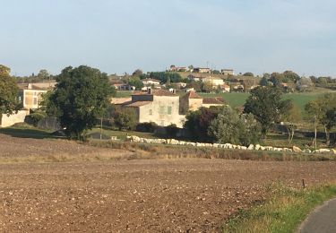
Wandern
Wandern
Wandern
Wandern
Wandern

Wandern
Wandern