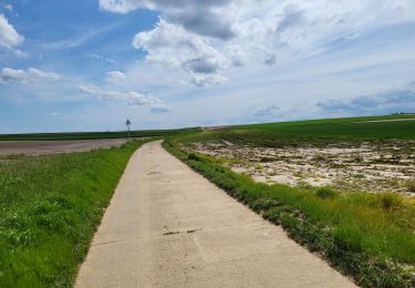


6,6 km | 7,8 km-effort


Benutzer


Kostenlosegpshiking-Anwendung
 SityTrail
IGN / Geografische Institute
SityTrail World
Die Welt öffnet sich für Sie
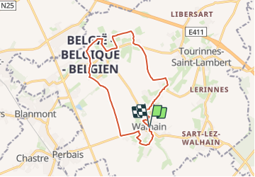
Tour Wandern von 13,2 km verfügbar auf Wallonien, Wallonisch-Brabant, Walhain. Diese Tour wird von calofrancis vorgeschlagen.
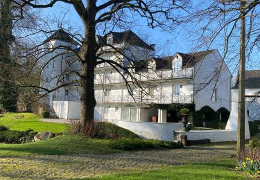
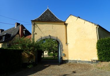
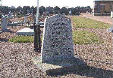
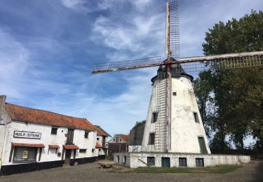
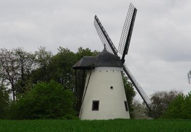
Les Sources du Nil, centre géographique de la Belgique, Château de Walhain, Chateau Saint Martin, Moulin du Tiège ...
Wandern
Wandern
Zu Fuß

Wandern
Wandern
Wandern
Wandern
Wandern