


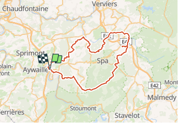


24 km | 34 km-effort

Benutzer


Kostenlosegpshiking-Anwendung
 SityTrail
IGN / Geografische Institute
SityTrail World
Die Welt öffnet sich für Sie
Tour Nordic Walking von 66 km verfügbar auf Wallonien, Lüttich, Aywaille. Diese Tour wird von stef789 vorgeschlagen.
3 jours 2 nuits - 1ere nuit dans un pré à la source sauveniere à Spa 2e nuit au dessus de chawion. ravitaillement à Sart à Polleur et à Theux


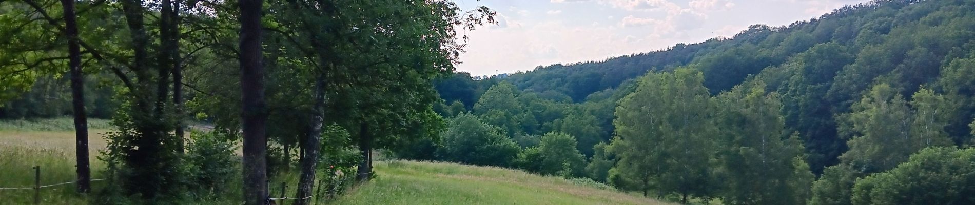
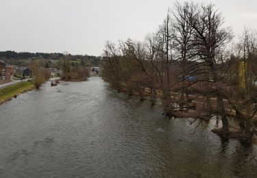
44 Fotos insgesamt. Klicken Sie auf ein Foto, um sie alle in der Galerie zu sehen.

Wandern

Wandern

Wandern

Wandern

Wandern
Wandern

Wandern
Wandern
Wandern