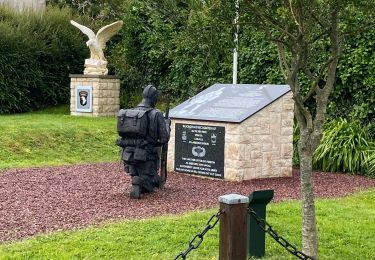
5,8 km | 6 km-effort
Boucle marais carentan
chessyca
Benutzer GUIDE
Länge
6,4 km
Maximale Höhe
3 m
Positive Höhendifferenz
12 m
Km-Effort
6,6 km
Min. Höhe
-2 m
Negative Höhendifferenz
13 m
Boucle
Ja
Erstellungsdatum :
2023-08-24 12:43:42.927
Letzte Änderung :
2023-08-24 14:52:37.833
1h35
Schwierigkeit : Medium
Kostenlosegpshiking-Anwendung
Über SityTrail
Tour Wandern von 6,4 km verfügbar auf Normandie, Manche, Carentan-les-Marais. Diese Tour wird von chessyca vorgeschlagen.
Ort
Land:
France
Region :
Normandie
Abteilung/Provinz :
Manche
Kommune :
Carentan-les-Marais
Standort:
Saint-Côme-du-Mont
Gehen Sie:(Dec)
Gehen Sie:(UTM)
626033 ; 5464646 (30U) N.
Kommentare
Touren in der Umgebung
Canal de Carentan
Wandern
Sehr leicht
Carentan-les-Marais,
Normandie,
Manche,
France
4,3 km | 4,5 km-effort
1h 12min
Ja
Carentan ville
Wandern
Sehr leicht
Carentan-les-Marais,
Normandie,
Manche,
France
5,8 km | 6,2 km-effort
1h 53min
Ja
Houes ille
Wandern
Einfach
Carentan-les-Marais,
Normandie,
Manche,
France
11,6 km | 12,4 km-effort
2h 16min
Ja
Caranta la baie de berçant
Elektrofahrrad
Carentan-les-Marais,
Normandie,
Manche,
France
20 km | 21 km-effort
1h 6min
Ja
De Madeleine à Marguerie
Wandern
Medium
Méautis,
Normandie,
Manche,
France
25 km | 27 km-effort
6h 10min
Nein
De la Madeleine à la Marguerie - Méautis
Mountainbike
Medium
Méautis,
Normandie,
Manche,
France
22 km | 24 km-effort
2h 30min
Ja
Boujamet 2
Wandern
Einfach
Carentan-les-Marais,
Normandie,
Manche,
France
5,4 km | 5,7 km-effort
2h 20min
Nein
Circuit Vélo Carentan
Rennrad
Sehr leicht
Carentan-les-Marais,
Normandie,
Manche,
France
22 km | 24 km-effort
1h 54min
Ja