


17,5 km | 21 km-effort

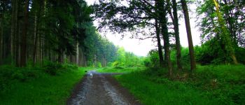
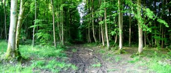
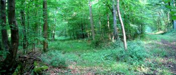
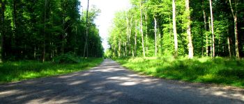
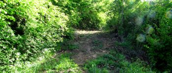
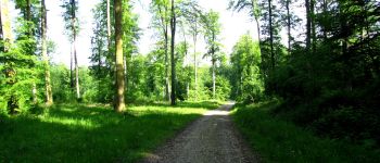
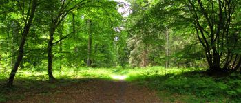
forêts de France


Kostenlosegpshiking-Anwendung
 SityTrail
IGN / Geografische Institute
SityTrail World
Die Welt öffnet sich für Sie
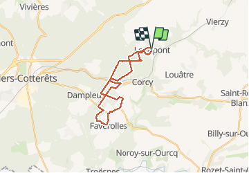
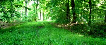
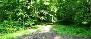
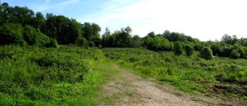
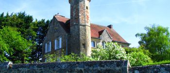
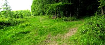
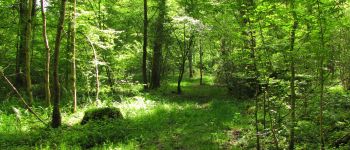
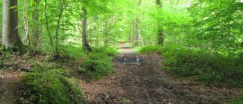
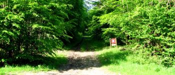
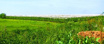
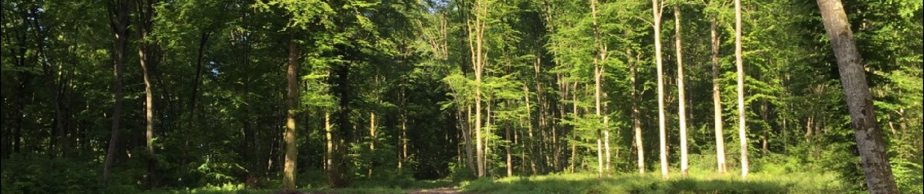
Tour Wandern von 23 km verfügbar auf Nordfrankreich, Aisne, Longpont. Diese Tour wird von en forêt de Retz vorgeschlagen.
voir aussi:
http://foret-de-retz.over-blog.com/
05/2015
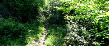
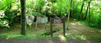
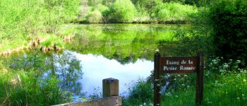
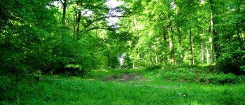
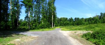
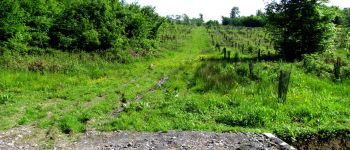
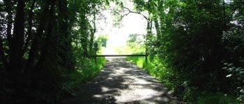
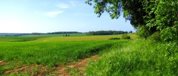
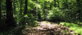
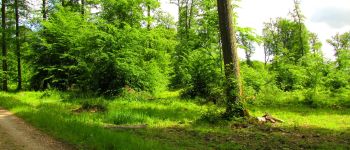
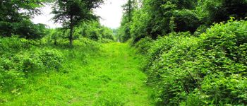
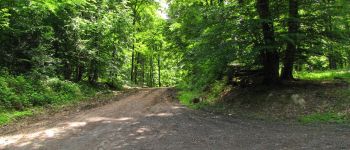
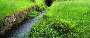
Au départ de l'Abbaye de Longpont, prendre la D2 vers la N2. Rejoindre le chemin de Longpont et prendre à gauche du carrefour Bosc la laie des Grands Charmes jusqu'au carrefour des Places Fraîches. Prendre à gauche la laie de l'étang jusqu'au chemin surplombant la voie ferrée. La traverser puis suivre jusqu'à l'étang de la Petite Ramée.Traverser la D80 et suivre la Route Droite jusqu'au carrefour des Vignes. Suivre la laie des Vignes puis prendre à droite la D17. Traverser Vouty, Faverolles et rejoindre la Maison Forestière de Faverolles. La contourner et suivre à droite le chemin jusqu'à la D973. Prendre à gauche un chemin (pour éviter la D973) jusqu'au carrefour de Barbaçon. Suivre ensuite à droite la laie de la Poudrerie jusqu'au carrefour du Trou de Terelle. Prendre à droite la laie de Hautwison puis à gauche la laie de la Chaussée jusqu'à l'étang de la Grande Ramée. Rejoindre l'étang de la Petite Ramée en longeant en contre bas le ruisseau. Prendre à droite et traverser la voie ferrée. Suivre la Route Droite jusqu'au carrefour de Château Fée. Prendre à droite la Route du Pendu jusqu'au carrefour du Pendu. Rejoindre à gauche la laie du Vieux Mur jusqu'au GR11A. Le suire jusqu'à la route de Corcy (D17) et rentrer à Longpont.


172 Fotos insgesamt. Klicken Sie auf ein Foto, um sie alle in der Galerie zu sehen.

Wandern

Wandern

Wandern

Zu Fuß

Zu Fuß

Wandern

Wandern

Wandern

Wandern