


6 km | 7,7 km-effort

Benutzer


Kostenlosegpshiking-Anwendung
 SityTrail
IGN / Geografische Institute
SityTrail World
Die Welt öffnet sich für Sie
Tour Wandern von 11,5 km verfügbar auf Wallonien, Lüttich, Huy. Diese Tour wird von GerardBouche vorgeschlagen.
Superbe parcours au départ du P du Chéra par le Bois de Neuville, les Neuf Bonniers, les Gottes sur le chemin de St-Jacques de Compostelle et le plateau de la Sarte.
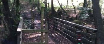
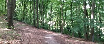
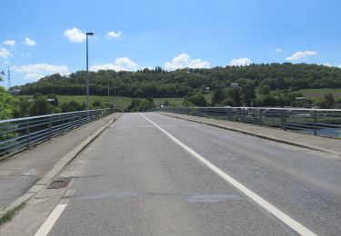
. - Photo 1")
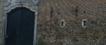
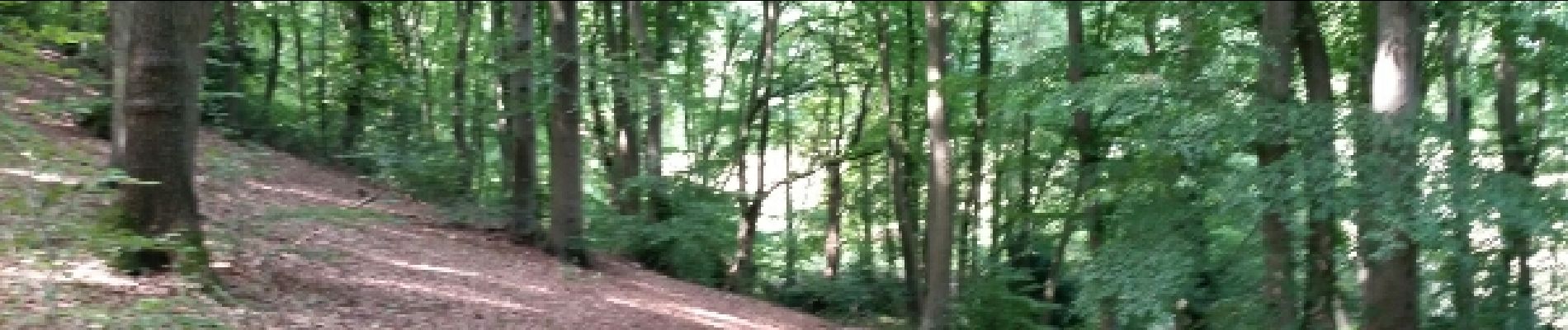
. - Photo 2")
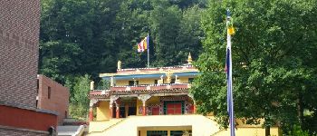
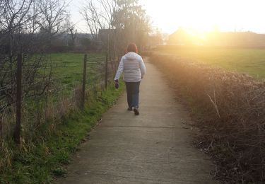
. - Photo 3")
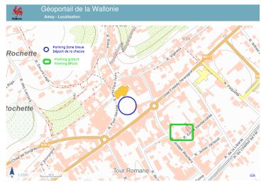
. - Photo 4")

Wandern

Wandern

Wandern

Mountainbike

Wandern
Wandern
Wandern
Zu Fuß