


17,5 km | 21 km-effort

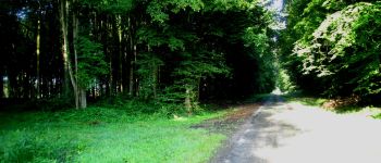
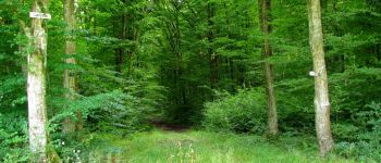
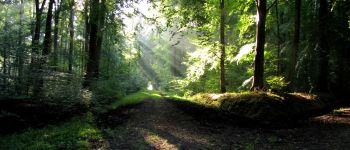
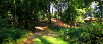
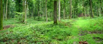
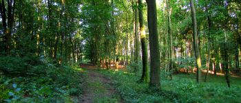
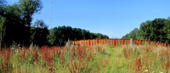
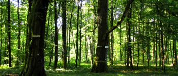
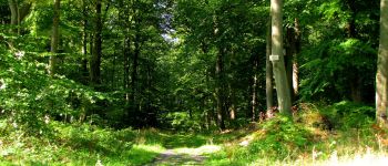
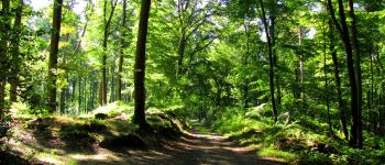
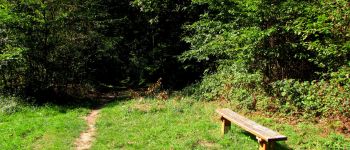
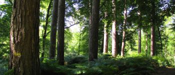
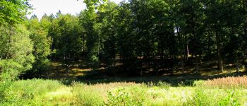
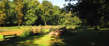
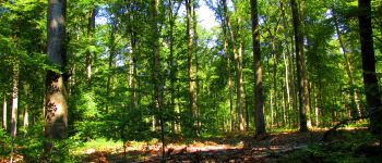
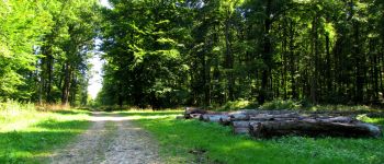
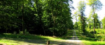
forêts de France


Kostenlosegpshiking-Anwendung
 SityTrail
IGN / Geografische Institute
SityTrail World
Die Welt öffnet sich für Sie
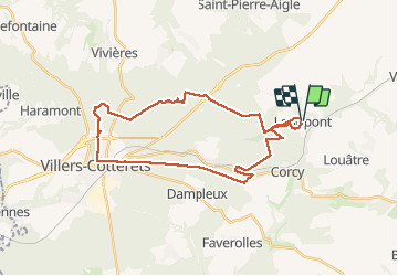
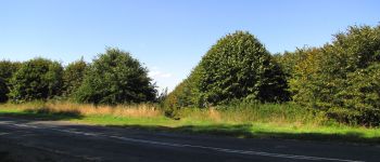
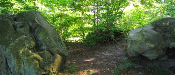
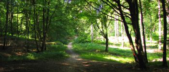
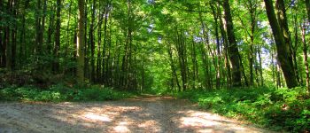
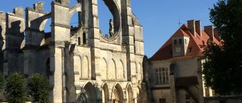
Tour Wandern von 32 km verfügbar auf Nordfrankreich, Aisne, Longpont. Diese Tour wird von en forêt de Retz vorgeschlagen.
voir aussi:
http://foret-de-retz.over-blog.com/
09/2015
batterie de rechange pour iphone indispensable.
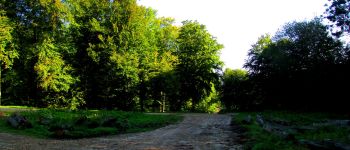
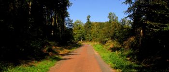
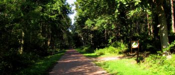
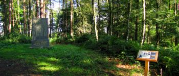
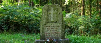
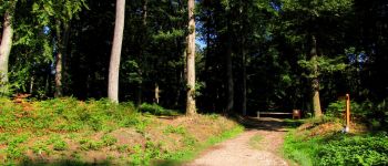
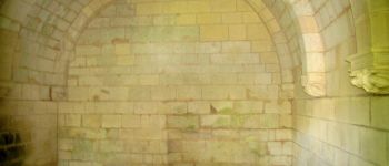
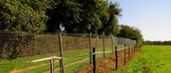
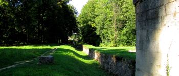
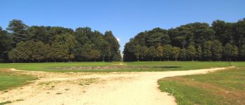
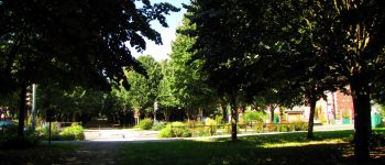
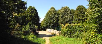
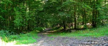
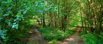
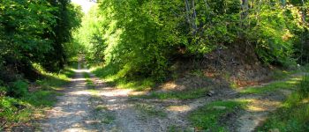
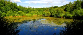
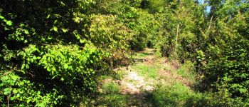
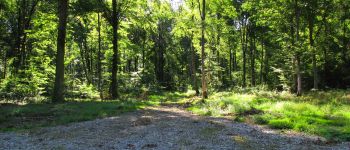
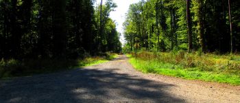
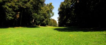
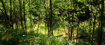
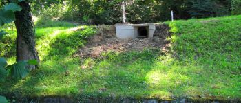
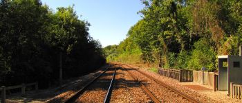
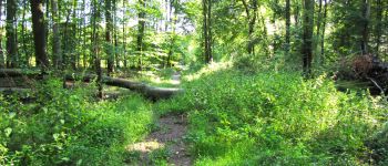
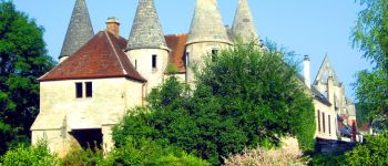
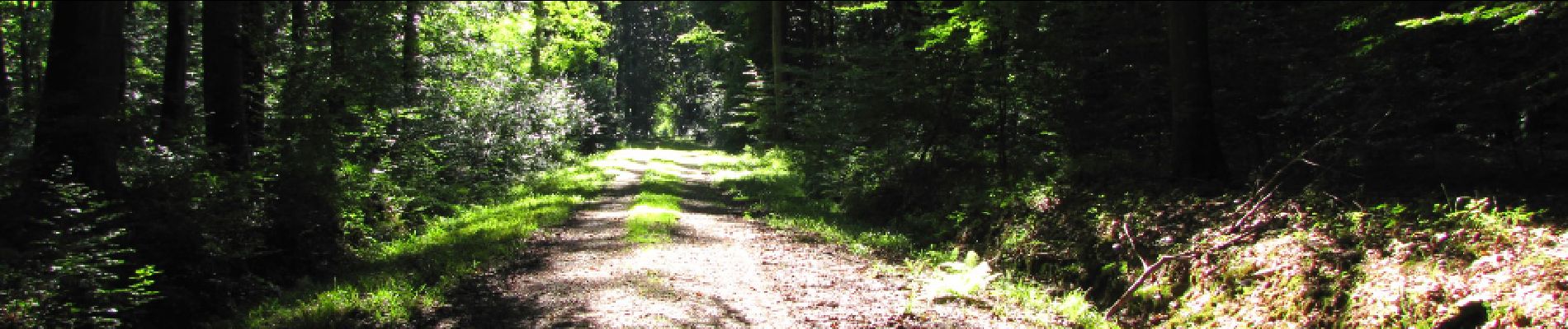
Au départ de Longpont, prendre le GR11A aux "trois maisons". Rejoindre le vieux chemin de Longpont à gauche. Le suivre et tourner à droite au carrefour Bosc dans la laie des Grands Charmes. Continuer jusqu'au carrefour des Ecuries. Prendre à gauche la route de Chavigny jusqu'au carrefour de Chavigny. Prendre à droite la laie des Monthieux, traverser le bio-pont et continuer jusqu'au carrefour des Têtes Salmon. Prendre à gauche la laie du Ravin jusqu'au carrefour des Blaireaux puis à droite la route du Faîte (passer voir le monument Mangin) et continuer jusqu'au carrefour de Réaumont. Prendre à gauche la laie de la Fosse Angouletout jusqu'au carrefour de la Mare-Bougie. Prendre à droite la route de Chavigny jusqu'au carrefour des Mélèzes puis à droite jusqu'au carrefour Demoustie. Tourner à gauche en direction de l'Ermitage Saint-Hubert. Traverser l'allée Royale, voir le Châtaignier de Malva sur la laie d'Haramont puis redescendre le long de l'étang de Malva (voir le Hêtre de Malva). Retrouver l'allée Royale (voir la MF de Saint-Rémy), passer sous la N2 et continuer jusque devant le château de François 1er. Prendre l'allée à gauche, traverser le pont de chemin de fer, puis la D231 jusqu'au carrefour du Désert. Retrouver la laie de Hautwison, la suivre jusqu'au carrefour du Trou de Terelle. Prendre à gauche la laie de la Chaussée jusqu'à l'étang de la Grande Ramée. Suivre le ru jusqu'à l'étang de la Petite Ramée. Prendre à droite, traverser la voie ferrée. Prendre à droite puis suivre à gauche la laie de l'étang jusqu'au carrefour des Places Fraîches. Retrouver à gauche la laie des Grands Charmes jusqu'au carrefour de la Tartarine. Prendre à droite la route du Pendu jusqu'au carrefour du Pendu puis à gauche la laie de la Croix Pain Tendre jusqu'au carrefour Gaudrillard. Suivre à droite le vieux chemin de Longpont jusqu'à la D2. Puis la suivre jusqu'à Longpont.


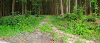
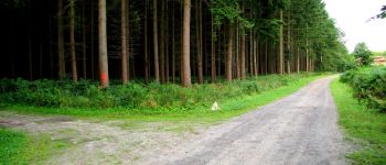
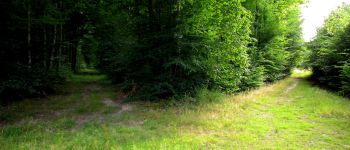
260 Fotos insgesamt. Klicken Sie auf ein Foto, um sie alle in der Galerie zu sehen.

Wandern

Wandern

Wandern

Zu Fuß

Zu Fuß

Wandern

Wandern

Wandern

Wandern