


24 km | 29 km-effort
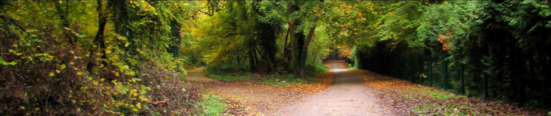

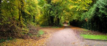
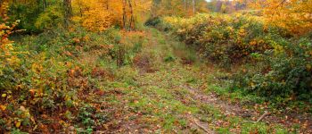
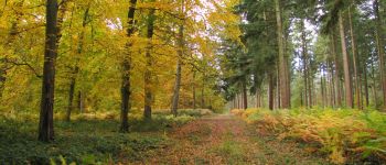
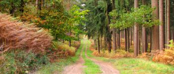
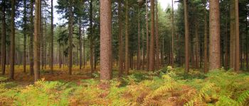
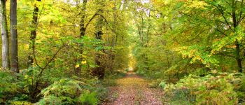
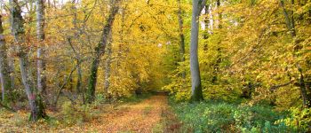
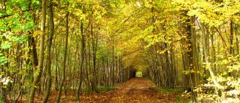
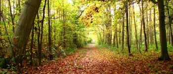
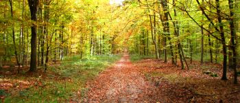
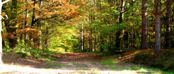
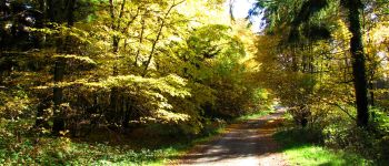
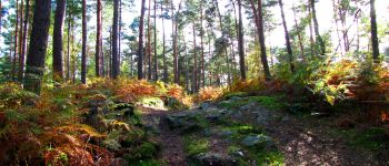
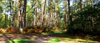
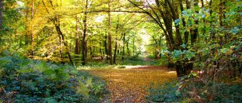
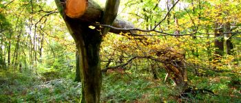
forêts de France


Kostenlosegpshiking-Anwendung
 SityTrail
IGN / Geografische Institute
SityTrail World
Die Welt öffnet sich für Sie
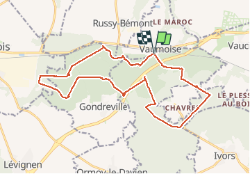
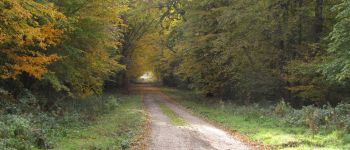
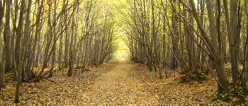
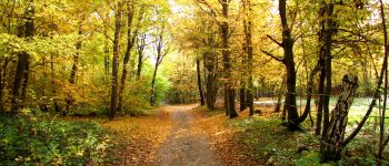
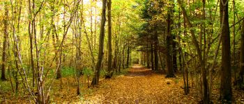
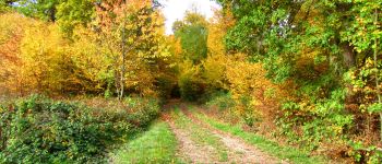
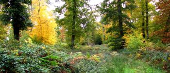
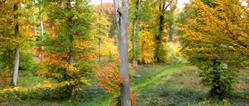
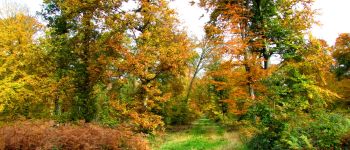
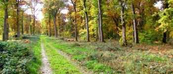
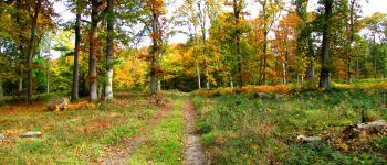
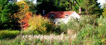
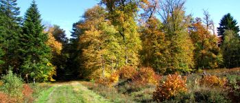
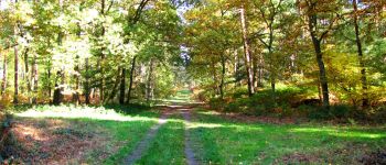
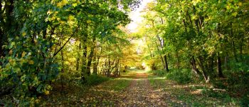
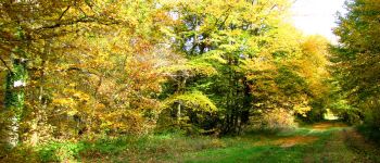
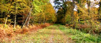
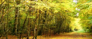
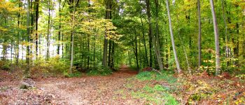
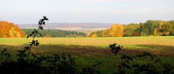
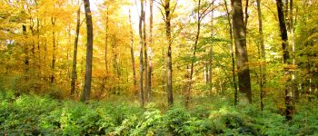
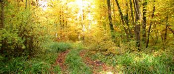
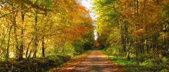
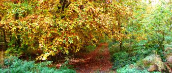
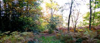
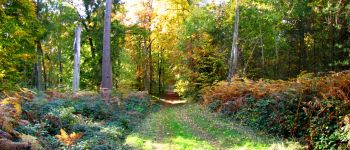
Tour Wandern von 21 km verfügbar auf Nordfrankreich, Aisne, Coyolles. Diese Tour wird von en forêt de Retz vorgeschlagen.
voir aussi:
http://foret-de-retz.over-blog.com/
10/2015
batterie pour iphone indispensable.
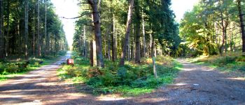
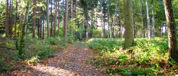
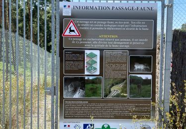
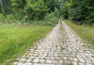
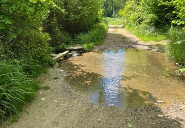
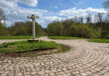
A partir de Vaumoise, face à l'entreprise d'emballage, suivre le chemin de Gondreville à Vaumoise. Au carrefour Dumont, prendre à droite, traverser le carrefour "laie du Bois de St Jean_laie de Vaumoise" et remonter jusqu'au carrefour "laie de Russy_Les Essarts".
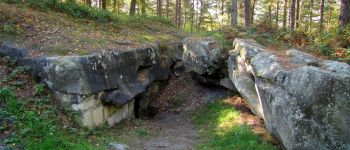
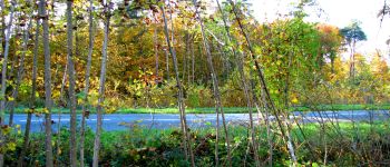
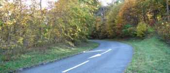
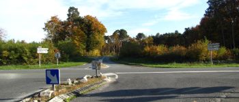
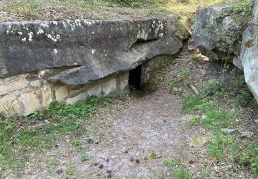
Continuer sur la laie de Russy jusqu'au carrefour de Montigny. Prendre à gauche la laie de la Marette (voir un chêne du Roi de Rome) puis suivre à droite la laie de Crépy jusqu'à son bout. Prendre à gauche pour retrouve le GR11. Le suivre jusqu'au carrefour avec la laie de la Marette. Continuer jusqu'au carrefour des Grès. Prendre à gauche la laie Diagonale jusqu'au carrefour du Centre. Prendre à droite la laie de Crépy à Vaumoise jusqu'au carrefour des Bruyères. Suivre à droite la laie de Gondreville jusqu'à la N2. La traverser. A la maison forestière des Quatorze Frères, suivre la route droite jusqu'au carrefour de la Cave du Diable. A gauche, voir la Cave du Diable puis revenir jusqu'au précédent carrefour. Continuer sur la laie de la Tour du Grain jusqu'à la Baraque. Rejoindre la laie des Armagnacs jusqu'au carrefour Rigaux. Prendre à gauche le chemin de Crépy à la Ferté-Milon. Au carrefour avec la route d'Ormoy, prendre à gauche la route d'Ormoy jusqu'au carrefour du Cuvret. Prendre à gauche la route Droite jusqu'au carrefour de la Tuilerie. Suivre à droite jusqu'au carrefour de la Brise. Prendre à gauche la laie d'Argançon jusqu'à la D88. Traverser la N2 jusqu'au point de départ à Vaumoise.


171 Fotos insgesamt. Klicken Sie auf ein Foto, um sie alle in der Galerie zu sehen.
Wandern
Wandern
Mountainbike
Wandern
Wandern
Wandern
Wandern
Wandern
Wandern