


12,3 km | 14,4 km-effort


Benutzer


Kostenlosegpshiking-Anwendung
 SityTrail
IGN / Geografische Institute
SityTrail World
Die Welt öffnet sich für Sie
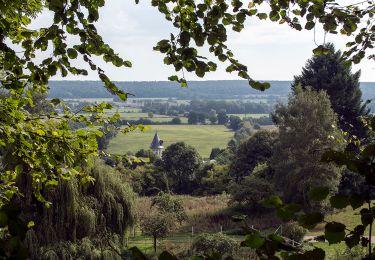
Tour Wandern von 9,2 km verfügbar auf Normandie, Eure, Montfort-sur-Risle. Diese Tour wird von randovivi vorgeschlagen.
Parking Centrale Hydro ,Rue Le Pont Joly D47 ou plus loin Intermarché D47,Prendre Rue De l'écu non loin de la Centrale Hyd,puis 1 ère à gauche

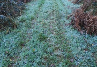
Wandern
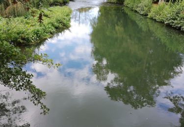
Wandern

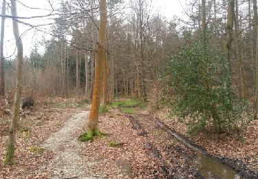
Wandern
Wandern
Wandern

Wandern
Wandern
Wandern
Mountainbike