


17,5 km | 21 km-effort

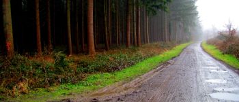
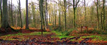
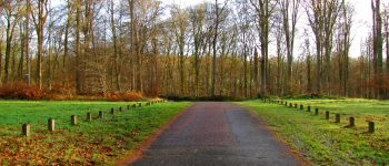
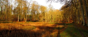
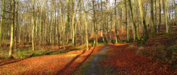
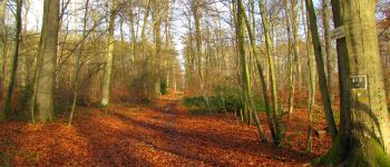
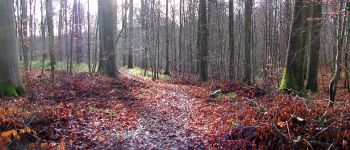
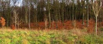
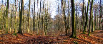
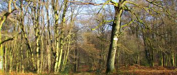
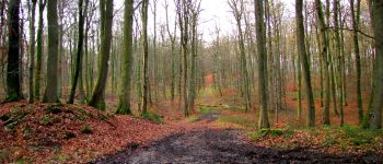
forêts de France


Kostenlosegpshiking-Anwendung
 SityTrail
IGN / Geografische Institute
SityTrail World
Die Welt öffnet sich für Sie
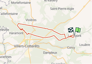
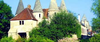
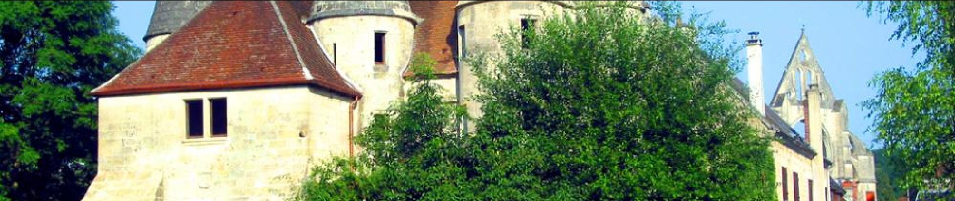
Tour Wandern von 29 km verfügbar auf Nordfrankreich, Aisne, Longpont. Diese Tour wird von en forêt de Retz vorgeschlagen.
voir aussi:
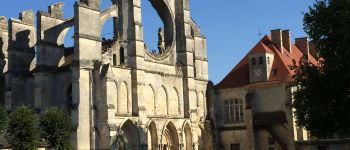
http://foret-de-retz.over-blog.com/
12/2015
batterie de rechange pour iphone indispensable pour enregistrer la rando avec sity trail.
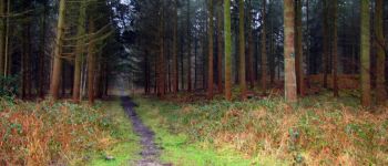
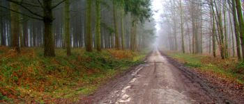
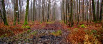
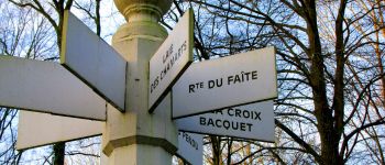
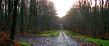
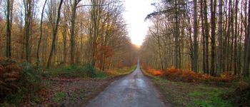
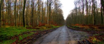
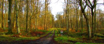
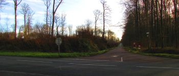
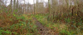
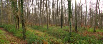
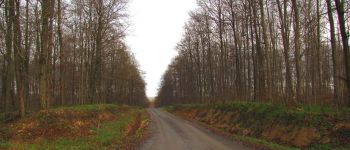
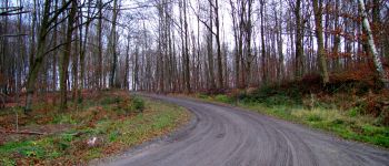
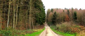
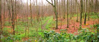
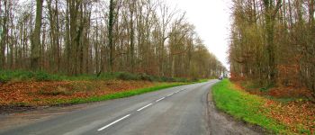
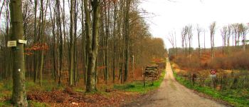
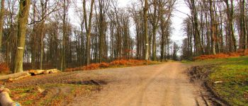
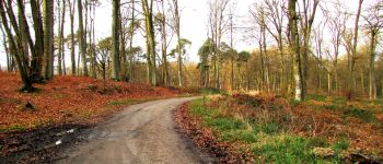
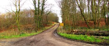
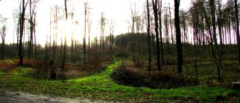
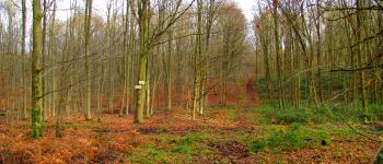
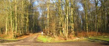
En partant de l'Abbaye de Longpont, rejoindre le GR11A "aux trois maisons" et le suivre jusqu'au vieux chemin de Longpont. Continuer jusqu'au carrefour de la Croix Bacquet. Prendre la route du Faîte jusqu'aux carrefour des Princesses puis la route de Chavigny jusqu'au carrefour de Villers-Cotterets. Traverser la N2, continuer sur la route de Chavigny jusqu'à l'Allée Royale. La traverser, passer l'étang de Malva et continuer en remontant jusqu'au carrefour de Saint Hubert. Retrouver le GR11A jusqu'au regard de Madame Vely (laie des Pots). Traverser la D973 et descendre jusqu'à la Pierre Clouise puis remonter jusqu'au carrefour de la Brèche en passant devant le regard neuf (laie des Pots).
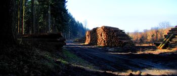
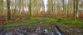
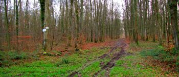
warning: plus de chemin par endroit!
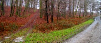
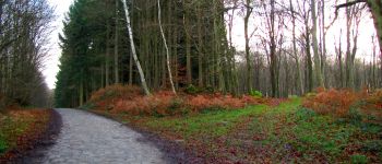
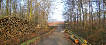
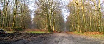
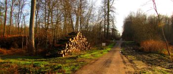
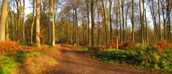
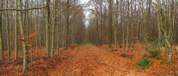
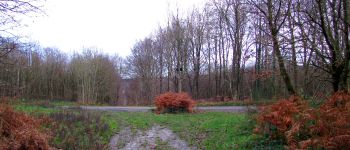
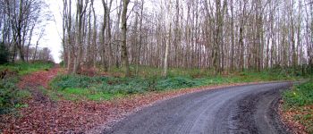
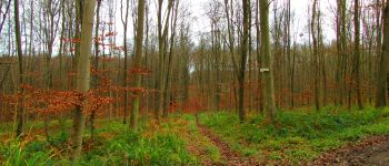
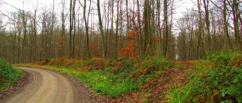
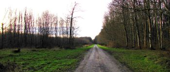
Suivre la laie de la Brèche jusqu'au carrefour de Vauquebert. Prendre à droite le chemin de Villers puis à droite la laie de Cabaret puis la route de Cabaret dans le prolongement. Rejoindre les carrefour des Têtes Salmon et du Lièvre. Continuer en passant le carrefour des Cailloutis, le carrefour de la Mare et celui des Carrosses. Traverser le Bio-Pont sur la N2. Rejoindre la laie des Monthieux jusqu'au carrefour de Chavigny. Prendre à gauche la route de Chavigny jusqu'au carrefour des Ecuries. Prendre à droite la laie des Grands Charmes jusqu'au carrefour Bosc. Prendre à gauche le vieux chemin de Longpont jusqu'à la D2. Puis la suivre jusqu'à Longpont.


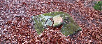
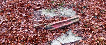
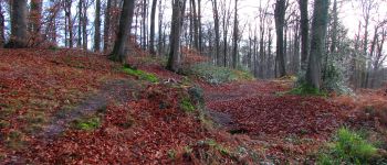
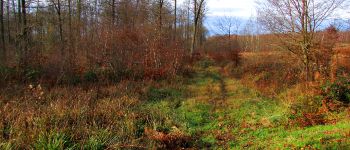
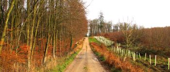
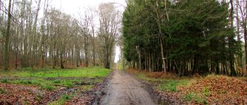
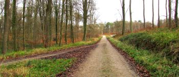
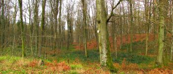
272 Fotos insgesamt. Klicken Sie auf ein Foto, um sie alle in der Galerie zu sehen.

Wandern

Wandern

Wandern

Zu Fuß

Zu Fuß

Wandern

Wandern

Wandern

Wandern