


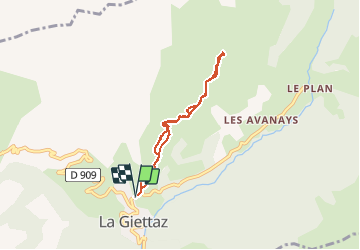

11,9 km | 19,7 km-effort

Benutzer


Kostenlosegpshiking-Anwendung
 SityTrail
IGN / Geografische Institute
SityTrail World
Die Welt öffnet sich für Sie
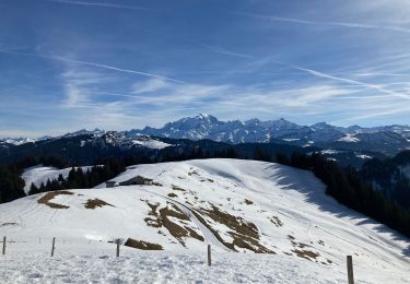
Tour Schneeschuhwandern von 6,1 km verfügbar auf Auvergne-Rhone-Alpen, Savoyen, La Giettaz. Diese Tour wird von Bogapuki vorgeschlagen.
21/3/2016
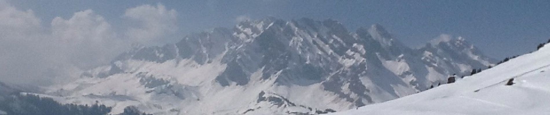
Très magnifique avec panorama fantastique sur le Mont Blanc et les Aravis


Wandern

Wandern

Schneeschuhwandern

Andere Aktivitäten

Wandern

Motor
Wandern
Schneeschuhwandern
Schneeschuhwandern