


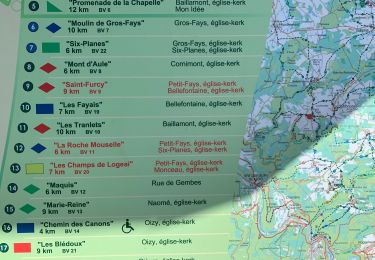
23 km | 33 km-effort

Benutzer


Kostenlosegpshiking-Anwendung
 SityTrail
IGN / Geografische Institute
SityTrail World
Die Welt öffnet sich für Sie
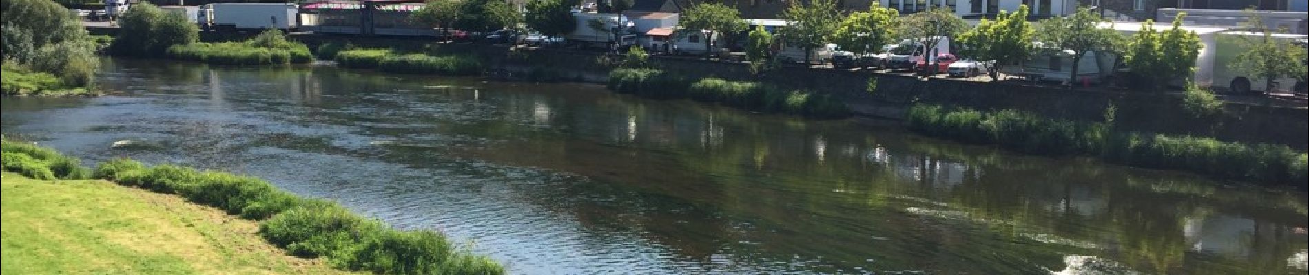
Tour Wandern von 6,9 km verfügbar auf Wallonien, Namur, Vresse-sur-Semois. Diese Tour wird von mavbelgium vorgeschlagen.
Langs buitenkant Semois naar Bohan. Begint éénvoudig doch naar midden toe enkele moeilijke, steile stukken.. einde is terug rustig


Wandern

Wandern

Wandern

Wandern

Wandern

Wandern
Wandern
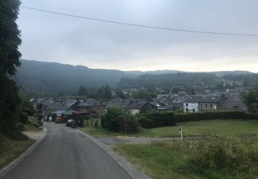
Wandern
Wandern