


19,5 km | 22 km-effort


Benutzer


Kostenlosegpshiking-Anwendung
 SityTrail
IGN / Geografische Institute
SityTrail World
Die Welt öffnet sich für Sie
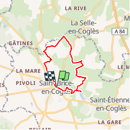
Tour Wandern von 10,8 km verfügbar auf Bretagne, Ille-et-Vilaine, Maen-Roch. Diese Tour wird von roger35 vorgeschlagen.
Parking place de la mairie
Zu Fuß
Zu Fuß
Wandern

Nordic Walking
Nordic Walking
Wandern
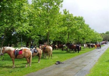
Pferd
Nordic Walking
Nordic Walking