


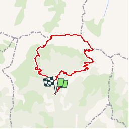

9,6 km | 16,3 km-effort

Benutzer


Kostenlosegpshiking-Anwendung
 SityTrail
IGN / Geografische Institute
SityTrail World
Die Welt öffnet sich für Sie
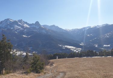
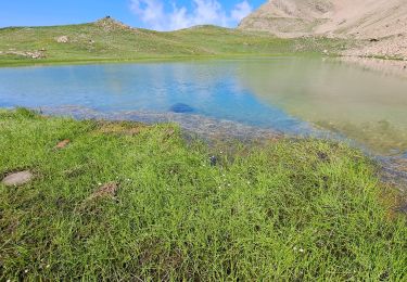
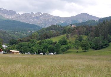
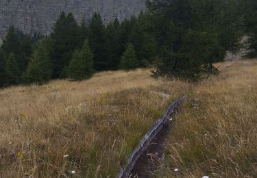
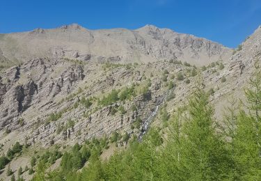
Tour Wandern von 16,2 km verfügbar auf Provence-Alpes-Côte d'Azur, Alpes-de-Haute-Provence, Saint-Pons. Diese Tour wird von Gouze13 vorgeschlagen.
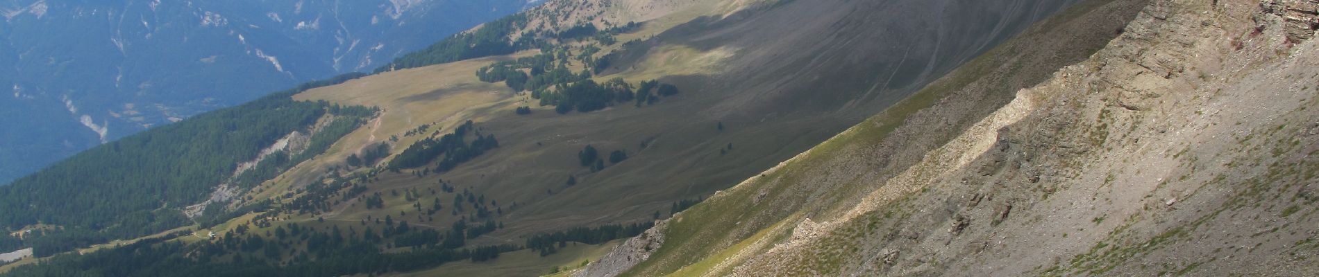
Crêtes sauvages. Terrain trés raide sur les 100 derniers mètres de montée depuis le col de la pare.

Wandern
Mountainbike
Wandern

Wandern
Wandern
Wandern

Skiwanderen
Wandern
Wandern