


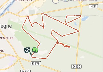


9,6 km | 12,8 km-effort

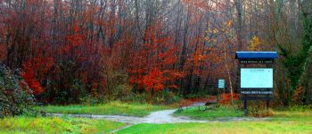
mes randos en forêt


Kostenlosegpshiking-Anwendung
 SityTrail
IGN / Geografische Institute
SityTrail World
Die Welt öffnet sich für Sie
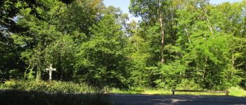
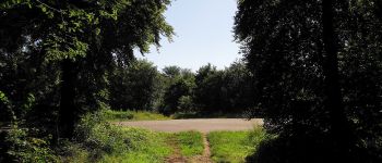
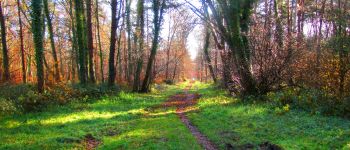
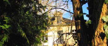
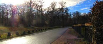
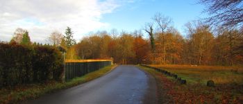
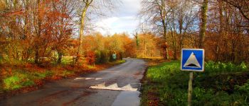
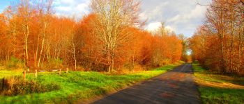
Tour Wandern von 12,9 km verfügbar auf Nordfrankreich, Oise, Compiègne. Diese Tour wird von en forêt de Compiègne vorgeschlagen.
11/ 2017
voir aussi:
http://foret-de-compiegne.over-blog.com/
batterie de recharge pour iphone conseillée à cause de la température.
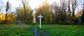
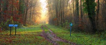
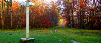
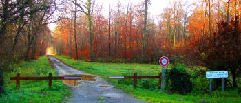
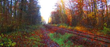
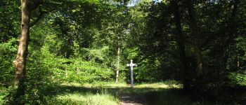
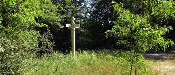
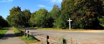
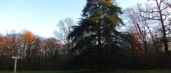
Au départ du carrefour Royal, suivre l'avenue des Bordures jusqu'au carrefour du Polygone. Tourner à gauche dans l'avenue du Polygone et la suivre jusqu'à l'entrée du Petit Parc. Continuer à droite sur l'avenue des Acacias jusqu'au carrefour Marie. Suivre à droite l'avenue Marie,passer le carrefour Peiffer et prendre à gauche au carrefour suivant le Layon de l'Empereur jusqu'au carrefour Félix Algier puis à droite l'avenue du Mail jusqu'au carrefour du Point du Jour. Tourner à gauche dans la route des Bordures jusqu'au carrefour Bellicard. Prendre à droite la route des Bordures du Grand Parc jusqu'au carrefour Elisabeth puis à gauche la route de la Forte Haie. Tourner à droite au niveau de la voie ferrée et continuer en la longeant jusqu'à la route des Vineux. Prendre à droite cette route jusqu'au carrefour du Buissonnet. Suivre la route de Granville jusqu'au carrefour Elisabeth. Prendre à gauche la route Bellicard jusqu'au carrefour du Putois. Suivre à droite la route du Putois jusqu'au carrefour du Renard puis la route tournante du Grand Parc jusqu'au carrefour de la Croix du Saint-Signe. Prendre à gauche le chemin jusqu'au carrefour avec l'avenue du Mail. Continuer à gauche cette avenue jusqu'à l'allée des Beaux Monts. La traverser et suivre une tournante (?) sur la gauche. Reprendre la tournante du Grand Parc sur la gauche jusqu'au point de départ.


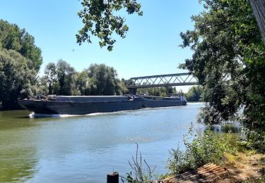
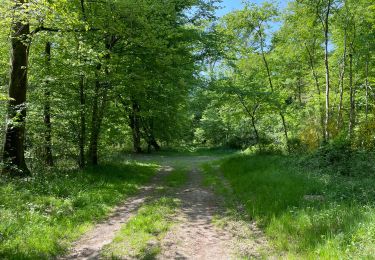
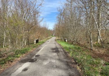
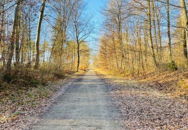
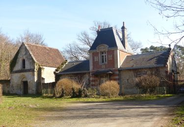
97 Fotos insgesamt. Klicken Sie auf ein Foto, um sie alle in der Galerie zu sehen.
Wandern

Wandern
Wandern
Wandern

Wandern

Wandern
Wandern
Zu Fuß