


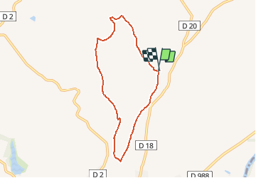

14,1 km | 17,4 km-effort


Benutzer


Kostenlosegpshiking-Anwendung
 SityTrail
IGN / Geografische Institute
SityTrail World
Die Welt öffnet sich für Sie
Tour Andere Aktivitäten von 6,9 km verfügbar auf Okzitanien, Tarn, Rabastens. Diese Tour wird von papiou vorgeschlagen.
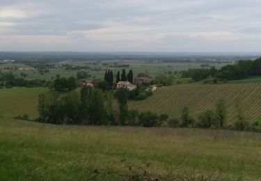
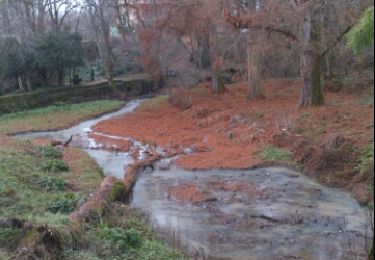
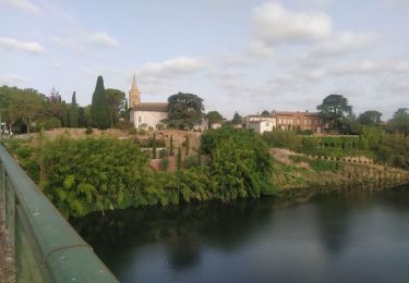
La boucle de Saint-Martin est une sympathique balade de 7 kilomètres qui vous est proposée au cœur du vignoble Rabastinois.La boucle de Saint-Martin est une sympathique balade de 7 kilomètres qui vous est proposée au cœur du vignoble Rabastinois. Découvrez tout le charme des paysages composés de cabanes de vignerons, de pigeonniers et qui témoignent des activités de nos ancêtres. L’église Saint-Martin (avec sa flèche gothique) et les tours de Notre-Dame-du-Bourg (ce dernier monument étant inscrit à l’UNESCO), entre autres, sont autant de monuments à ne pas rater au cours de votre excursion.

Wandern
Wandern

Laufen

Mountainbike
Wandern
Rennrad

Wandern

Nordic Walking
Zu Fuß