


116 km | 156 km-effort
Occitanie : découvrez les meilleures randonnées : 3 avion, 5 parapente, 2 parachute et 1 u.l.m.. Tous ces circuits, parcours, itinéraires et activités en plein air sont disponibles dans nos applications SityTrail pour smartphones et tablettes.
Avion


Parapente

Parapente
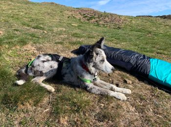
• Bonnie vole
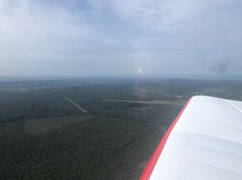
Avion
Avion
Parapente
Parachute
U.L.M.
Parapente
Parachute
Parapente
11 randonnées affichées sur 11
Application GPS de randonnée GRATUITE
 SityTrail
IGN / Instituts géographiques
SityTrail World
Le monde est à vous