


15,8 km | 16,9 km-effort
Saint-Quentin-en-Tourmont : découvrez les meilleures randonnées : 38 marche et 6 marche nordique. Tous ces circuits, parcours, itinéraires et activités en plein air sont disponibles dans nos applications SityTrail pour smartphones et tablettes.
Marche


• Autour du Marquenterre, une boucle dans les dunes, les crocs en picard, paradis des oiseaux et royaume du cheval. Pou...
Marche
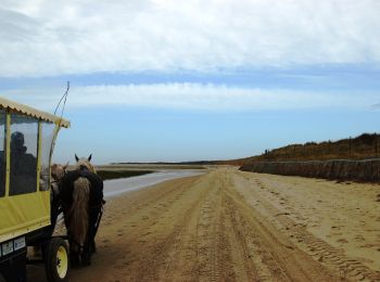
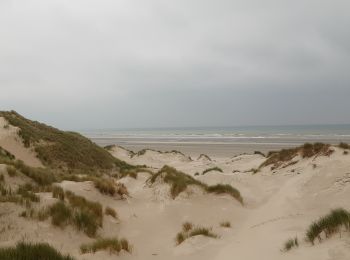
• un aller-retour qui en vaut la peine ! Une difficulté, on ne marche que sur le sable.
Marche nordique
• parcours très difficile. la moitié se fait dans le sable pas toujours dur. le long de la plage est interminable malgr...
Marche
• 2 octobre 2016 Baie de Somme
Marche
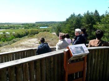
• Randonnée avec Mettons le Monde en Marche dans la réserve naturelle de la baie de Somme. Depuis St Quentin en Tourmon...
Marche
Marche
Marche
• PORTE SUD du parc du Marquenterre fermée par chaine cadenassée

Marche nordique
• ?
Marche
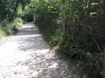
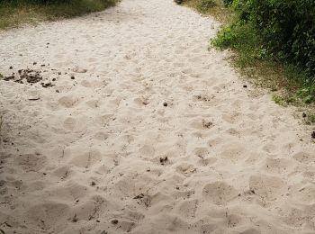
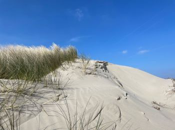
• Grosse partie marche dans le sable

Marche
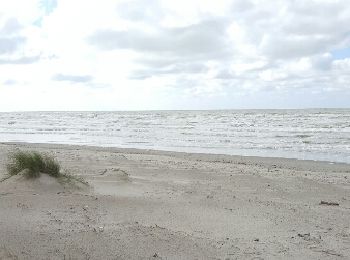
• promenade dunaire
Marche
• Rando Audax 28kms ( 1400kcal ) ou fractionné léger (alt 2km à 6 km/h et 2 km à 8 km/h = 1700 kcal).
Marche nordique
• SAINT-QUENTIN-EN-TOURMONT Balade au départ du camping de la Haie Penée
Marche nordique
• Attention aux marées
Marche
• Sortie du 11/06/2019 A priori itinéraire classique de la région, malheureusement la trace importée à posé quelques so...
Marche
•
Marche
•
Marche
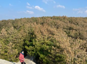
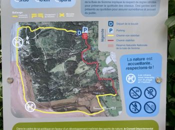
• Cette randonnée fait le tour du parc du Marquenterre. La promenade commence par la traversée d'une forêt de pins puis...
Marche
Marche
20 randonnées affichées sur 44
Application GPS de randonnée GRATUITE
 SityTrail
IGN / Instituts géographiques
SityTrail World
Le monde est à vous