Saint-Côme-d'Olt, Aveyron, A pied : Les meilleures randonnées, itinéraires, parcours, balades et promenades

2 commentaires

Saint-Côme-d'Olt : découvrez les meilleures randonnées : 4 a pied et 47 marche. Tous ces circuits, parcours, itinéraires et activités en plein air sont disponibles dans nos applications SityTrail pour smartphones et tablettes.


Les meilleurs parcours (51)

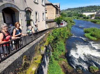
Randonnée Marche Saint-Côme-d'Olt - étape st Jacques st come sur d olt-estaing - Photo
Marche 24.724
Km

Marche

Moyen
Saint-Côme-d'Olt, Occitanie, Aveyron, France
25 km | 32 km-effort
5h 54min
550 m
615 m
Non
fab0202

• belle rando entre st come et estaing avec de beaux panoramas, de belles églises et de beaux village espalion, verrièr...

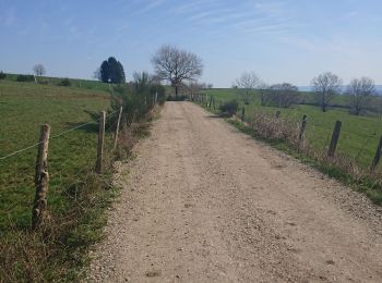
Randonnée Marche Saint-Côme-d'Olt - saint Come d'Olt Estaing - Photo
Marche 14.46
Km

Marche

Moyen
Saint-Côme-d'Olt, Occitanie, Aveyron, France
14,5 km | 20 km-effort
5h 54min
422 m
447 m
Non
PhilDomDoxa

• St Jacques de Compostelle

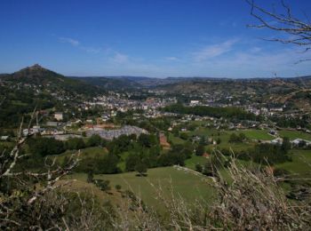
Randonnée Marche Saint-Côme-d'Olt - saint Côme d'olt- Estaing - Photo
Marche 23.307
Km

Marche

Difficile
Saint-Côme-d'Olt, Occitanie, Aveyron, France
23 km | 31 km-effort
6h 17min
567 m
639 m
Non
guariso

• étape st Jacques gr65

Randonnée Marche Saint-Côme-d'Olt - Saint Côme d'Olt vers Estaing - Photo
Marche 20.432
Km

Marche

Moyen
Saint-Côme-d'Olt, Occitanie, Aveyron, France
20 km | 28 km-effort
7h 1min
537 m
591 m
Non
choubaka77

• Belle itinéraire avec deux montées bien raides mais pas trop longue !!! Plusieurs possibilités d'arrêt et ravitaillem...

Randonnée Marche Saint-Côme-d'Olt - Saint Côme - Espalion - Photo
Marche 7.108
Km

Marche

Moyen
Saint-Côme-d'Olt, Occitanie, Aveyron, France
7,1 km | 8,3 km-effort
2h 10min
77 m
112 m
Non
RR31

• Saint Jacques

Randonnée Marche Saint-Côme-d'Olt - live Saint Côme - Estaing - Photo
Marche 21.759
Km

Marche

Difficile
Saint-Côme-d'Olt, Occitanie, Aveyron, France
22 km | 29 km-effort
6h 37min
544 m
589 m
Non
djeepee74

Randonnée Marche Saint-Côme-d'Olt - Labastide canto messo - Photo
Marche 9.277
Km

Marche

Facile
Saint-Côme-d'Olt, Occitanie, Aveyron, France
9,3 km | 11,9 km-effort
2h 18min
199 m
198 m
Oui
limo12

Randonnée Marche Saint-Côme-d'Olt - St Côme d'Olt - Estaing - Chemin de St-Jacques de Compostelle - Photo
Marche 20.915
Km

Marche

Difficile
(2)
Saint-Côme-d'Olt, Occitanie, Aveyron, France
21 km | 29 km-effort
4h 0min
562 m
603 m
Non
tracegps

• Huitième étape sur notre Chemin de Compostelle qui nous mène de St Come d'Olt à Etaing. (Km 150,273 à Km 171.356) D’a...

Randonnée Marche Saint-Côme-d'Olt - trail d'aqui départ la Rozière  - Photo
Marche 13.659
Km

Marche

Difficile
Saint-Côme-d'Olt, Occitanie, Aveyron, France
13,7 km | 22 km-effort
4h 9min
640 m
645 m
Oui
chantal12

• boucle du trail de st côme d'olt au départ de la ROZIERE . Suivre balisage trail d'aqui. Prévoir bonnes chaussures d...
Randonnée Marche Saint-Côme-d'Olt - Saint-Come Les Vieilles Vignes - Photo
Marche 8.578
Km

Marche

Moyen
Saint-Côme-d'Olt, Occitanie, Aveyron, France
8,6 km | 11,4 km-effort
2h 31min
211 m
211 m
Oui
kayamb

Randonnée Marche Saint-Côme-d'Olt - Fin étape St Côme a Été spalion  - Photo
Marche 7.49
Km

Marche

Moyen
Saint-Côme-d'Olt, Occitanie, Aveyron, France
7,5 km | 8,7 km-effort
1h 38min
86 m
103 m
Non
Nono55

• Empalions magnifique

Randonnée Marche Saint-Côme-d'Olt - Le clamas de thubies - Photo
Marche 15.607
Km

Marche

Très difficile
Saint-Côme-d'Olt, Occitanie, Aveyron, France
15,6 km | 20 km-effort
4h 38min
363 m
365 m
Oui
laoj

• St come vers espalion retour vallee
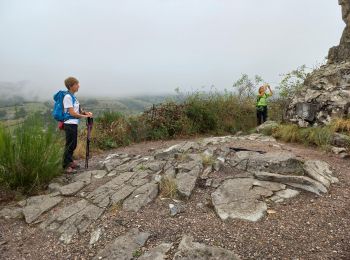
Randonnée Marche Saint-Côme-d'Olt - Saint Come d'Olt / Estaing - Photo
Marche 22.607
Km

Marche

Moyen
Saint-Côme-d'Olt, Occitanie, Aveyron, France
23 km | 30 km-effort
7h 19min
520 m
575 m
Non
DENNEBECQ

Randonnée Marche Saint-Côme-d'Olt - Saint Côme Roquelaure - Photo
Marche 8.416
Km

Marche

Moyen
Saint-Côme-d'Olt, Occitanie, Aveyron, France
8,4 km | 13,6 km-effort
2h 26min
392 m
391 m
Oui
limo12

• Montée de Saint Côme vers Roqulaure par GR620
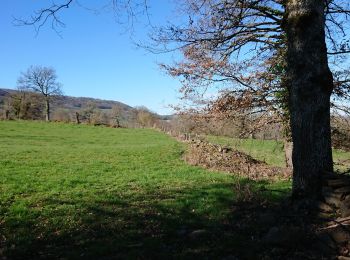
Randonnée Marche Saint-Côme-d'Olt - roquelaure - Photo
Marche 6.055
Km

Marche

Moyen
Saint-Côme-d'Olt, Occitanie, Aveyron, France
6,1 km | 9,7 km-effort
2h 6min
276 m
275 m
Oui
limo12

Randonnée Marche Saint-Côme-d'Olt - St Côme  - Photo
Marche 3.953
Km

Marche

Très facile
Saint-Côme-d'Olt, Occitanie, Aveyron, France
4 km | 4,5 km-effort
1h 39min
42 m
44 m
Oui
bauxtilou

• Moi

Randonnée Marche Saint-Côme-d'Olt - Aubrac 3 - Photo
Marche 18.588
Km

Marche

Facile
Saint-Côme-d'Olt, Occitanie, Aveyron, France
18,6 km | 24 km-effort
5h 2min
357 m
406 m
Non
Clodet

• St Côme d'Olt à Estaing

Randonnée Marche Saint-Côme-d'Olt - st come d olt - estaing - Photo
Marche 21.621
Km

Marche

Très facile
Saint-Côme-d'Olt, Occitanie, Aveyron, France
22 km | 27 km-effort
7h 0min
392 m
441 m
Non
jib971

• Le long du lot - les belles églises - la montée qui tue

Randonnée Marche Saint-Côme-d'Olt - La bastide d'aubrac - Photo
Marche 5.974
Km

Marche

Facile
Saint-Côme-d'Olt, Occitanie, Aveyron, France
6 km | 7,1 km-effort
1h 31min
87 m
88 m
Oui
Lacaze

• Départ salle des fêtes de la Bastide boucle en passant par les Horts

Randonnée Marche Saint-Côme-d'Olt - St Jacques Etape 8 - Photo
Marche 19.638
Km

Marche

Très facile
Saint-Côme-d'Olt, Occitanie, Aveyron, France
19,6 km | 24 km-effort
5h 6min
296 m
367 m
Non
Jean-MarieFaux

• Saint Come d'Olt Estaing Etape 8 GR65

20 randonnées affichées sur 51

Application GPS de randonnée GRATUITE

Logo SityTrail SityTrail

IGN / Instituts géographiques

Télécharger SityTrail sur l'App Store Télécharger SityTrail sur Google Play

Logo SityTrail SityTrail World

Le monde est à vous

Télécharger SityTrail sur l'App Store Télécharger SityTrail sur Google Play Télécharger SityTrail sur Huawei AppGallery

Activités

Fermer
Mes abonnements