Mannheim, Bade-Wurtemberg : Les meilleures randonnées, itinéraires, parcours, balades et promenades

Mannheim : découvrez les meilleures randonnées : 15 pédestres. Tous ces circuits, parcours, itinéraires et activités en plein air sont disponibles dans nos applications SityTrail pour smartphones et tablettes.


Les meilleurs parcours (15)
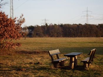
Randonnée A pied Inconnu - Dossenwald Rundweg Nr. 2 - Photo
A pied 5.962
Km
PRO

A pied

Facile
Inconnu, Bade-Wurtemberg, Mannheim, Allemagne
6 km | 6,7 km-effort
1h 30min
52 m
53 m
Oui
SityTrail - itinéraires balisés pédestres

• Randonnée créée par Stadt Mannheim.
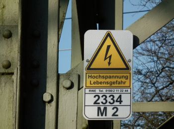
Randonnée A pied Inconnu - Dossenwald Rundweg Nr. 1 - Photo
A pied 5.536
Km
PRO

A pied

Facile
Inconnu, Bade-Wurtemberg, Mannheim, Allemagne
5,5 km | 6,2 km-effort
1h 25min
53 m
55 m
Oui
SityTrail - itinéraires balisés pédestres

• Randonnée créée par Stadt Mannheim.
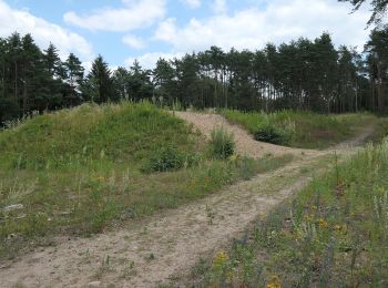
Randonnée A pied Inconnu - Dossenwald Rundweg Nr. 4 - Photo
A pied 6.662
Km
PRO

A pied

Facile
Inconnu, Bade-Wurtemberg, Mannheim, Allemagne
6,7 km | 7,4 km-effort
1h 40min
52 m
53 m
Oui
SityTrail - itinéraires balisés pédestres

• Randonnée créée par Stadt Mannheim.
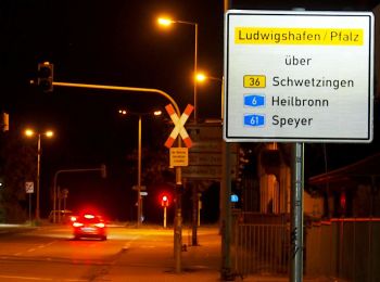
Randonnée A pied Inconnu - Dossenwald Rundweg Nr. 6 - Photo
A pied 11.589
Km
PRO

A pied

Facile
Inconnu, Bade-Wurtemberg, Mannheim, Allemagne
11,6 km | 13 km-effort
2h 57min
106 m
109 m
Oui
SityTrail - itinéraires balisés pédestres

• Randonnée créée par Stadt Mannheim.
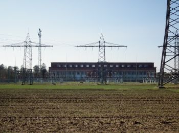
Randonnée A pied Inconnu - Dossenwald Rundweg Nr. 3 - Photo
A pied 5.742
Km
PRO

A pied

Facile
Inconnu, Bade-Wurtemberg, Mannheim, Allemagne
5,7 km | 6,4 km-effort
1h 27min
49 m
48 m
Oui
SityTrail - itinéraires balisés pédestres

• Randonnée créée par Stadt Mannheim. im Zuge der Neuregelung der Besucherströme ist der Verlauf etwas geändert worden

Randonnée A pied Inconnu - Dossenwald Rundweg Nr. 7 - Photo
A pied 7.084
Km
PRO

A pied

Facile
Inconnu, Bade-Wurtemberg, Mannheim, Allemagne
7,1 km | 8 km-effort
1h 48min
67 m
69 m
Oui
SityTrail - itinéraires balisés pédestres

• Randonnée créée par Stadt Mannheim.
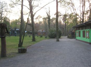
Randonnée A pied Inconnu - Rundweg 6, Kugelfangweg - Photo
A pied 5.509
Km
PRO

A pied

Facile
Inconnu, Bade-Wurtemberg, Mannheim, Allemagne
5,5 km | 6,1 km-effort
1h 22min
42 m
41 m
Oui
SityTrail - itinéraires balisés pédestres

• Randonnée créée par Geo-Naturpark Bergstraße-Odenwald e.V.. Symbole: Yellow 6 in yellow circle

Randonnée A pied Inconnu - Rundweg 5, Waldschulweg - Photo
A pied 5.696
Km
PRO

A pied

Facile
Inconnu, Bade-Wurtemberg, Mannheim, Allemagne
5,7 km | 6,3 km-effort
1h 25min
42 m
41 m
Oui
SityTrail - itinéraires balisés pédestres

• Randonnée créée par Geo-Naturpark Bergstraße-Odenwald e.V.. Symbole: Yellow 5 in yellow circle
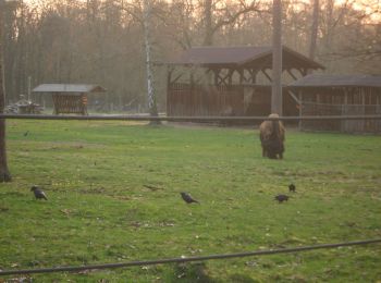
Randonnée A pied Inconnu - Rundweg 3, Dünenweg - Photo
A pied 4.314
Km
PRO

A pied

Facile
Inconnu, Bade-Wurtemberg, Mannheim, Allemagne
4,3 km | 4,8 km-effort
1h 5min
37 m
36 m
Oui
SityTrail - itinéraires balisés pédestres

• Randonnée créée par Geo-Naturpark Bergstraße-Odenwald e.V.. Symbole: Yellow 3 in yellow circle
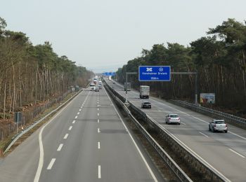
Randonnée A pied Inconnu - Rundweg 2, Buckelalleeweg - Photo
A pied 5.552
Km
PRO

A pied

Facile
Inconnu, Bade-Wurtemberg, Mannheim, Allemagne
5,6 km | 6 km-effort
1h 21min
31 m
33 m
Oui
SityTrail - itinéraires balisés pédestres

• Randonnée créée par Geo-Naturpark Bergstraße-Odenwald e.V.. Symbole: Yellow 2 in yellow circle

Randonnée A pied Inconnu - Rundweg 1, Frondweg - Photo
A pied 8.624
Km
PRO

A pied

Facile
Inconnu, Bade-Wurtemberg, Mannheim, Allemagne
8,6 km | 9,5 km-effort
2h 9min
64 m
66 m
Oui
SityTrail - itinéraires balisés pédestres

• Randonnée créée par Geo-Naturpark Bergstraße-Odenwald e.V.. Symbole: Yellow 1 in yellow circle
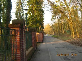
Randonnée A pied Inconnu - Rundweg 4, Wasserwerkweg - Photo
A pied 5.247
Km
PRO

A pied

Facile
Inconnu, Bade-Wurtemberg, Mannheim, Allemagne
5,2 km | 5,7 km-effort
1h 17min
33 m
31 m
Oui
SityTrail - itinéraires balisés pédestres

• Randonnée créée par Geo-Naturpark Bergstraße-Odenwald e.V.. Symbole: Yellow 4 in yellow circle

Randonnée A pied Inconnu - Rundweg 7, Schützenhausweg - Photo
A pied 10.33
Km
PRO

A pied

Facile
Inconnu, Bade-Wurtemberg, Mannheim, Allemagne
10,3 km | 11,1 km-effort
2h 31min
58 m
57 m
Oui
SityTrail - itinéraires balisés pédestres

• Randonnée créée par Geo-Naturpark Bergstraße-Odenwald e.V.. Symbole: Yellow 7 in yellow circle

Randonnée A pied Inconnu - Rundweg 9, Heideweg (aufgegeben) - Photo
A pied 14.267
Km
PRO

A pied

Facile
Inconnu, Bade-Wurtemberg, Mannheim, Allemagne
14,3 km | 15,7 km-effort
3h 33min
106 m
105 m
Oui
SityTrail - itinéraires balisés pédestres

• wird auf hessischer Seite nicht mehr gepflegt und wurde deshalb komplett aufgegeben Symbole: Yellow 9 in yellow circle

Randonnée A pied Inconnu - Rundweg 8, Vogelstangweg - Photo
A pied 8.289
Km
PRO

A pied

Facile
Inconnu, Bade-Wurtemberg, Mannheim, Allemagne
8,3 km | 9,1 km-effort
2h 3min
58 m
56 m
Oui
SityTrail - itinéraires balisés pédestres

• Randonnée créée par Geo-Naturpark Bergstraße-Odenwald e.V.. Symbole: yellow 8 in yellow circle

15 randonnées affichées sur 15

Application GPS de randonnée GRATUITE

Logo SityTrail SityTrail

IGN / Instituts géographiques

Télécharger SityTrail sur l'App Store Télécharger SityTrail sur Google Play

Logo SityTrail SityTrail World

Le monde est à vous

Télécharger SityTrail sur l'App Store Télécharger SityTrail sur Google Play Télécharger SityTrail sur Huawei AppGallery

Activités

Régions proches

Fermer
Mes abonnements