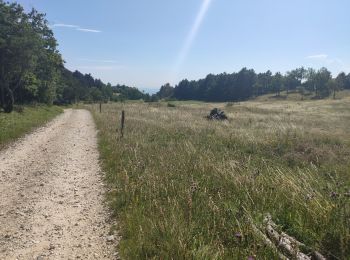
Plan-de-Baix, Drôme : Les meilleures randonnées, itinéraires, parcours, balades et promenades

Plan-de-Baix : découvrez les meilleures randonnées : 34 pédestres. Tous ces circuits, parcours, itinéraires et activités en plein air sont disponibles dans nos applications SityTrail pour smartphones et tablettes.


Les meilleurs parcours (34)
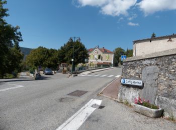
Randonnée Marche Plan-de-Baix - Canyon des Gueulards - Plateau du Vellan  - Photo
Marche 18.662
Km

Marche

Moyen
Plan-de-Baix, Auvergne-Rhône-Alpes, Drôme, France
18,7 km | 28 km-effort
4h 55min
717 m
714 m
Oui
Philindy26

• Départ du village de Plan-de-Baix... Géolocalisation (Google Maps) : https://goo.gl/maps/jQueNbyGpCkkKiNJ6 En partan...
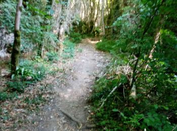
Randonnée Marche Plan-de-Baix - Le Canyon des Gueulards - Photo
Marche 14.244
Km

Marche

Difficile
Plan-de-Baix, Auvergne-Rhône-Alpes, Drôme, France
14,2 km | 22 km-effort
4h 27min
585 m
588 m
Oui
AIGUIER

• Splendide randonnée, très beaux sentiers, pistes forestières à l'ombre. Magnifique que la traversée du Canyon des Gue...
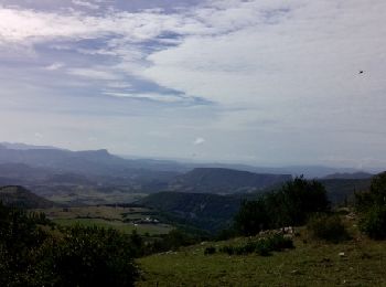
Randonnée Marche Plan-de-Baix - F26 Plan de Baix Vélan - Photo
Marche 10.89
Km

Marche

Moyen
Plan-de-Baix, Auvergne-Rhône-Alpes, Drôme, France
10,9 km | 16,1 km-effort
4h 14min
395 m
391 m
Oui
ageo

• LCV ANIM rando orientation

Randonnée Marche Plan-de-Baix - Le Canyon des Gueulards 9km - Photo
Marche 9.108
Km
GUIDE

Marche

Moyen
Plan-de-Baix, Auvergne-Rhône-Alpes, Drôme, France
9,1 km | 14,1 km-effort
3h 0min
372 m
372 m
Oui
thonyc

• Randonnée atypique dans les gorges d’Omblèze où vous pourrez contempler les parois abruptes du défilé, les eaux limpi...
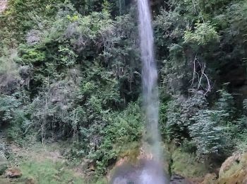
Randonnée Marche Plan-de-Baix - 050823 Canyon des gueulards  - Photo
Marche 10.662
Km

Marche

Difficile
Plan-de-Baix, Auvergne-Rhône-Alpes, Drôme, France
10,7 km | 16,1 km-effort
2h 56min
410 m
395 m
Non
mzonzon05

Randonnée Marche Plan-de-Baix - ferme de sauzy canyon des guelards retour par le velan - Photo
Marche 17.897
Km

Marche

Moyen
Plan-de-Baix, Auvergne-Rhône-Alpes, Drôme, France
17,9 km | 27 km-effort
4h 47min
676 m
688 m
Oui
marcagif

Randonnée Marche Plan-de-Baix - Le plateau du Vellan 14km - Photo
Marche 14.001
Km
GUIDE

Marche

Moyen
Plan-de-Baix, Auvergne-Rhône-Alpes, Drôme, France
14 km | 22 km-effort
4h 58min
587 m
600 m
Oui
thonyc

Randonnée Marche Plan-de-Baix - canyon des gueulards   - Photo
Marche 10.162
Km

Marche

Difficile
Plan-de-Baix, Auvergne-Rhône-Alpes, Drôme, France
10,2 km | 17 km-effort
3h 54min
517 m
508 m
Non
hugo26

• Rando au canyon des geulards . casse croute au hameau en ruine du Chaffal. En boucle depuis les gorges d'Omblèze.

Randonnée Marche Plan-de-Baix - canyon des gueulards depuis le moulin de la pipe - Photo
Marche 9.454
Km

Marche

Difficile
Plan-de-Baix, Auvergne-Rhône-Alpes, Drôme, France
9,5 km | 16,6 km-effort
3h 45min
534 m
531 m
Oui
hugo26

• Très belle balade en boucle pas très difficile mais à faire de préférence quand le ruisseau ne coule pas trop.
Randonnée Marche Plan-de-Baix - canyon des gueulards  - Photo
Marche 10.665
Km

Marche

Très facile
Plan-de-Baix, Auvergne-Rhône-Alpes, Drôme, France
10,7 km | 16,3 km-effort
5h 5min
421 m
432 m
Oui
Joel26400

Randonnée Marche Plan-de-Baix - canyon du gueulard - Photo
Marche 10.169
Km

Marche

Moyen
Plan-de-Baix, Auvergne-Rhône-Alpes, Drôme, France
10,2 km | 15,5 km-effort
3h 18min
424 m
324 m
Non
meillon

• on découvre quelques passages sublimes de crocs et de falaises...à voir absolument

Randonnée Marche Plan-de-Baix - gervane druise croix du velan  - Photo
Marche 18.419
Km

Marche

Moyen
Plan-de-Baix, Auvergne-Rhône-Alpes, Drôme, France
18,4 km | 29 km-effort
6h 59min
829 m
828 m
Oui
guyzinz

• Attention porter des chaussettes de rechange il faut traverser plusieurs fois la gervane sinon super rando moyenne

Randonnée Marche Plan-de-Baix - les trois perles de la gervane  - Photo
Marche 20.273
Km

Marche

Très facile
Plan-de-Baix, Auvergne-Rhône-Alpes, Drôme, France
20 km | 31 km-effort
8h 17min
839 m
836 m
Non
Joel26400

• cite super rando raprechissante

Randonnée Marche Plan-de-Baix - des gueulards - Photo
Marche 9.507
Km

Marche

Moyen
Plan-de-Baix, Auvergne-Rhône-Alpes, Drôme, France
9,5 km | 13,3 km-effort
3h 3min
281 m
297 m
Non
Cricounet84

Randonnée Marche Plan-de-Baix - Plan de Baix 15 02 24 - Photo
Marche 14.785
Km

Marche

Moyen
Plan-de-Baix, Auvergne-Rhône-Alpes, Drôme, France
14,8 km | 23 km-effort
3h 46min
651 m
651 m
Oui
nordan

Randonnée Marche Plan-de-Baix - la blache  - Photo
Marche 10.998
Km

Marche

Difficile
Plan-de-Baix, Auvergne-Rhône-Alpes, Drôme, France
11 km | 15,9 km-effort
2h 53min
369 m
370 m
Oui
panetJeanLuc

Randonnée Marche Plan-de-Baix - Là gervanne  - Photo
Marche 4.293
Km

Marche

Facile
Plan-de-Baix, Auvergne-Rhône-Alpes, Drôme, France
4,3 km | 5,1 km-effort
1h 24min
33 m
131 m
Non
raygautier

Randonnée Marche Plan-de-Baix - Cote Blanche - Photo
Marche 16.706
Km

Marche

Moyen
Plan-de-Baix, Auvergne-Rhône-Alpes, Drôme, France
16,7 km | 26 km-effort
5h 54min
698 m
689 m
Oui
collot

Randonnée Marche Plan-de-Baix - gueulards - Photo
Marche 10.985
Km

Marche

Difficile
Plan-de-Baix, Auvergne-Rhône-Alpes, Drôme, France
11 km | 18,2 km-effort
5h 27min
546 m
536 m
Non
lerouge8726

Randonnée Marche Plan-de-Baix - velan - Photo
Marche 16.951
Km

Marche

Très difficile
Plan-de-Baix, Auvergne-Rhône-Alpes, Drôme, France
17 km | 26 km-effort
6h 34min
677 m
676 m
Non
lerouge8726

20 randonnées affichées sur 34

Application GPS de randonnée GRATUITE

Logo SityTrail SityTrail

IGN / Instituts géographiques

Télécharger SityTrail sur l'App Store Télécharger SityTrail sur Google Play

Logo SityTrail SityTrail World

Le monde est à vous

Télécharger SityTrail sur l'App Store Télécharger SityTrail sur Google Play Télécharger SityTrail sur Huawei AppGallery

Activités

Fermer
Mes abonnements