


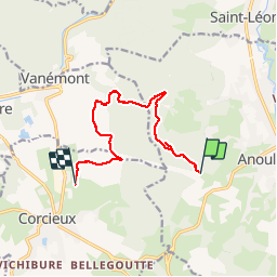

4 km | 5,9 km-effort


Utilisateur


Application GPS de randonnée GRATUITE
 SityTrail
IGN / Instituts géographiques
SityTrail World
Le monde est à vous
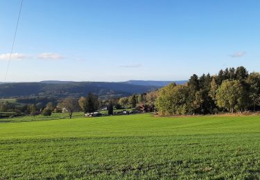
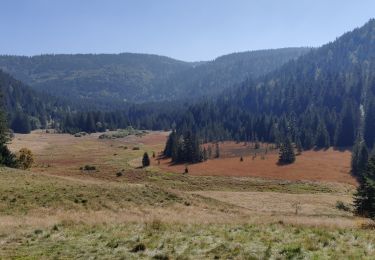
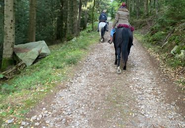
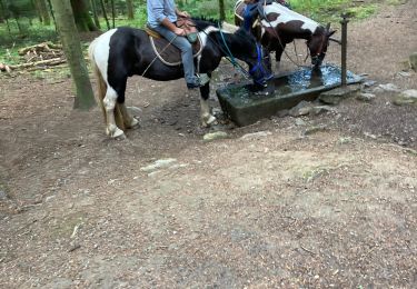
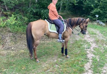
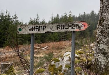
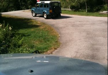
Randonnée Cheval de 9,1 km à découvrir à Grand Est, Vosges, Anould. Cette randonnée est proposée par raline.
Avec jojo
Marche
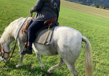
Randonnée équestre
Randonnée équestre

Randonnée équestre
Randonnée équestre

sport
Marche
Autre activité