Randonnée Marche Saint-Géry-Vers - Vers, St Gery  Vallée du Lot - Photo

Vers, St Gery Vallée du Lot

 tracegps
tracegps

Utilisateur

© OpenStreetMap contributors
Longueur
Longueur
14,1 km
Altitude max
Altitude max
319 m
Dénivelé positif
Dénivelé positif
429 m
Km-Effort
Km-Effort  
19,8 km
Altitude min
Altitude min
120 m
Dénivelé négatif
Dénivelé négatif
423 m
Boucle
Boucle
Oui
Date de création :
2014-12-10 00:00:00.0
Dernière modification :
2014-12-10 00:00:00.0

(3 Avis)

Marche
Marche
4h00
Difficulté : Difficile

Scannez ce code QR pour ouvrir la randonnée dans l'application SityTrail

Application GPS de randonnée GRATUITE

Logo SityTrail SityTrail

IGN / Instituts géographiques

Télécharger SityTrail sur l'App Store Télécharger SityTrail sur Google Play

Logo SityTrail SityTrail World

Le monde est à vous

Télécharger SityTrail sur l'App Store Télécharger SityTrail sur Google Play Télécharger SityTrail sur Huawei AppGallery

À propos

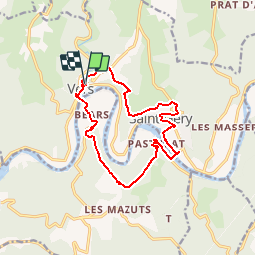
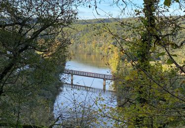
Randonnée Marche de 14,1 km à découvrir à Occitanie, Lot, Saint-Géry-Vers. Cette randonnée est proposée par tracegps.

Description

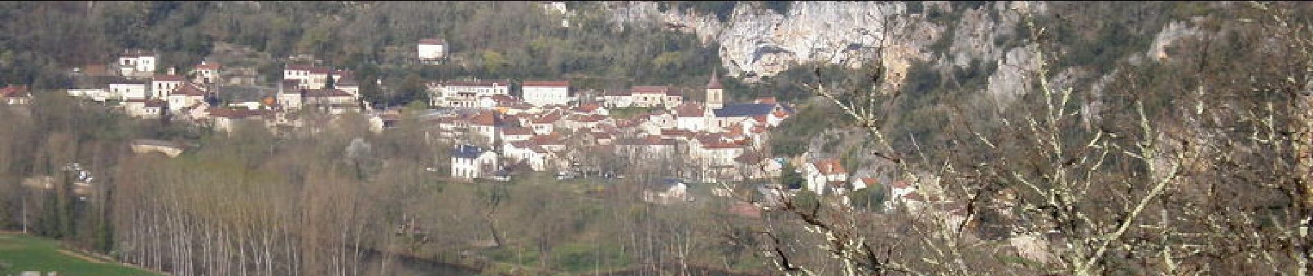
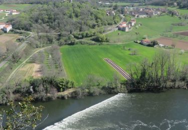
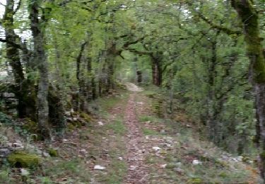
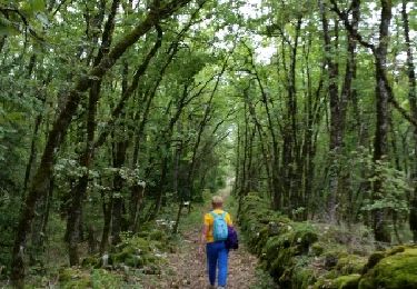
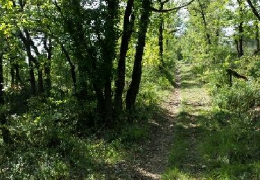
Départ Place Eglise de Vers. Regagner le plateau par de magnifiques chemins et sentiers. Rejoindre dans la Vallée St GERY, traverser le LOT, passer à PASTURAT. Continuer sur le plateau et revenir à VERS après avoir traversé BEARS.

Profil altimétrique

Photos

Localisation

Pays :
France
Région :
Occitanie
Département/Province :
Lot
Commune :
Saint-Géry-Vers
Localité :
Unknown
Départ:(Dec)
Départ:(UTM)
385057 ; 4926918 (31T) N.

Commentaires

Veuillez vous connecter pour laisser un commentaire ou une note


Fait le 11/11 avec Bene joli sentier


Randonnées à proximité

Randonnée Marche Saint-Géry-Vers - Causse de Vers - Photo
Marche
houbart

Marche

Difficile
(1)
Saint-Géry-Vers, Occitanie, Lot, France
11,6 km | 15,9 km-effort
3h 36min
Oui
Randonnée Marche Saint-Géry-Vers - Boucle Vers - Merlan gr46 - Photo
Marche
Glurps

Marche

Facile
Saint-Géry-Vers, Occitanie, Lot, France
14,7 km | 19,3 km-effort
4h 21min
Oui
Randonnée Marche Arcambal - Galessie les Mazuts Barouillet  - Photo
Marche
GUIDE
antignacs

Marche

Très facile
Arcambal, Occitanie, Lot, France
10,7 km | 13,9 km-effort
2h 30min
Oui
Randonnée Marche Saint-Géry-Vers - Vers merlan pech picou - Photo
Marche
GUIDE
antignacs

Marche

Très facile
Saint-Géry-Vers, Occitanie, Lot, France
10,2 km | 13,5 km-effort
2h 13min
Non
Randonnée Vélo électrique Saint-Géry-Vers - St gery St cirq Cabreret  - Photo
Vélo électrique
GUIDE
antignacs

Vélo électrique

Très facile
Saint-Géry-Vers, Occitanie, Lot, France
39 km | 51 km-effort
3h 24min
Oui
Randonnée Marche Saint-Géry-Vers - Moulin de Nouaillac - Photo
Marche
ricou1964

Marche

Moyen
(1)
Saint-Géry-Vers, Occitanie, Lot, France
13,3 km | 18,5 km-effort
4h 0min
Oui
Randonnée Marche Saint-Géry-Vers - QUERCY (Nouaillac) - Photo
Marche
GerardBouche

Marche

Facile
Saint-Géry-Vers, Occitanie, Lot, France
11,7 km | 15,4 km-effort
3h 19min
Oui
Randonnée Marche Saint-Géry-Vers - QUERCY (St-Géry) - Photo
Marche
GerardBouche

Marche

Très facile
Saint-Géry-Vers, Occitanie, Lot, France
6,1 km | 7,3 km-effort
1h 40min
Oui
Randonnée Marche Saint-Géry-Vers - QUERCY Vers) - Photo
Marche
GerardBouche

Marche

Facile
Saint-Géry-Vers, Occitanie, Lot, France
5,8 km | 8,4 km-effort
1h 49min
Oui


Fermer
Mes abonnements