


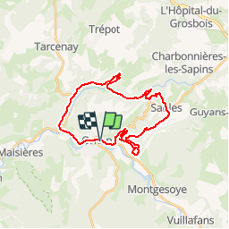

14,3 km | 19,7 km-effort

Utilisateur


Application GPS de randonnée GRATUITE
 SityTrail
IGN / Instituts géographiques
SityTrail World
Le monde est à vous
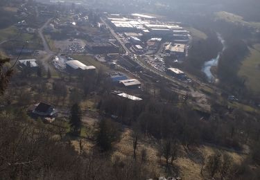
Randonnée V.T.T. de 26 km à découvrir à Bourgogne-Franche-Comté, Doubs, Ornans. Cette randonnée est proposée par tracegps.
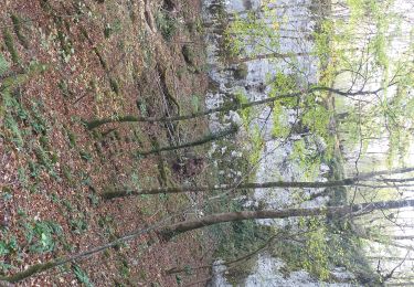
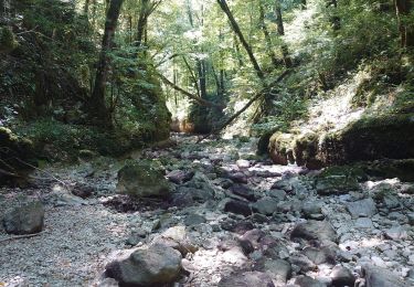
Espace VTT FFC Ornans et la Vallée de la Loue - Circuit N°27 - La Brème. Un grand circuit de 30 Km qui vous emmènera jusqu'à Bonnevaux le prieuré, magnifique.

Marche
Marche

Marche

V.T.T.
Marche
Marche
Marche
Marche
Marche