


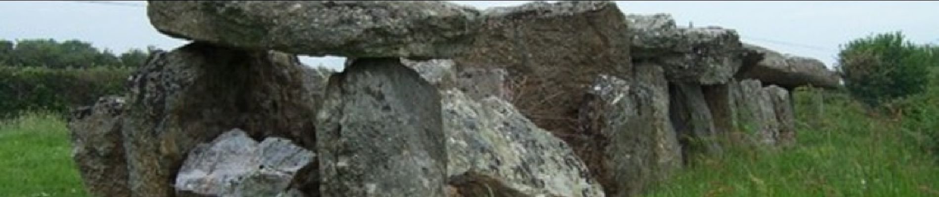
La croix Perrinot - Cherbourg

tracegps
Utilisateur
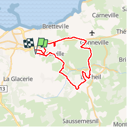

Longueur
23 km

Altitude max
154 m

Dénivelé positif
297 m
Km-Effort
27 km

Altitude min
66 m

Dénivelé négatif
297 m
Boucle
Oui
Date de création :
2014-12-10 00:00:00.0
Dernière modification :
2014-12-10 00:00:00.0
1h30
Difficulté : Moyen

Application GPS de randonnée GRATUITE
 SityTrail
IGN / Instituts géographiques
SityTrail Plus
Le monde est à vous
À propos
Randonnée V.T.T. de 23 km à découvrir à Normandie, Manche, Cherbourg-en-Cotentin. Cette randonnée est proposée par tracegps.
Description
Balade VTT facile
Photos

Localisation
Pays :
France
Région :
Normandie
Département/Province :
Manche
Commune :
Cherbourg-en-Cotentin
Localité :
Tourlaville
Départ:(Dec)
Départ:(UTM)
604894 ; 5498586 (30U) N.
Commentaires