Randonnée V.T.T. Sainte-Marie-de-Ré - Sainte Marie de Ré - Rivedoux Plage - La Flotte - Photo

Sainte Marie de Ré - Rivedoux Plage - La Flotte

 tracegps
tracegps

Utilisateur

© OpenStreetMap contributors
Longueur
Longueur
15,5 km
Altitude max
Altitude max
18 m
Dénivelé positif
Dénivelé positif
78 m
Km-Effort
Km-Effort  
16,5 km
Altitude min
Altitude min
0 m
Dénivelé négatif
Dénivelé négatif
79 m
Boucle
Boucle
Oui
Date de création :
2014-12-10 00:00:00.0
Dernière modification :
2014-12-10 00:00:00.0

(0 Avis)

V.T.T.
V.T.T.
1h15
Difficulté : Moyen

Scannez ce code QR pour ouvrir la randonnée dans l'application SityTrail

Application GPS de randonnée GRATUITE

Logo SityTrail SityTrail

IGN / Instituts géographiques

Télécharger SityTrail sur l'App Store Télécharger SityTrail sur Google Play

Logo SityTrail SityTrail World

Le monde est à vous

Télécharger SityTrail sur l'App Store Télécharger SityTrail sur Google Play Télécharger SityTrail sur Huawei AppGallery

À propos

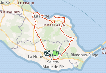
Randonnée V.T.T. de 15,5 km à découvrir à Nouvelle-Aquitaine, Charente-Maritime, Sainte-Marie-de-Ré. Cette randonnée est proposée par tracegps.

Description

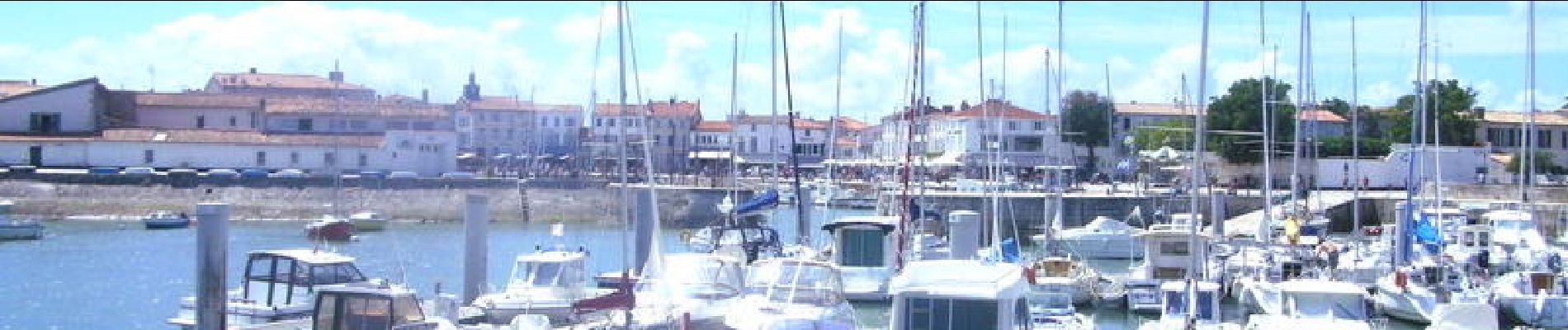
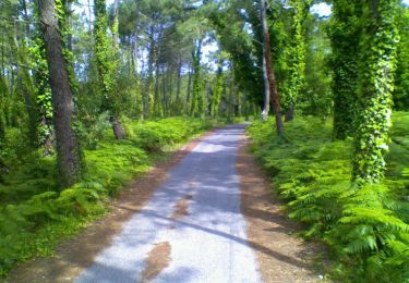
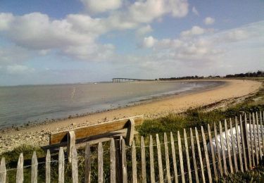
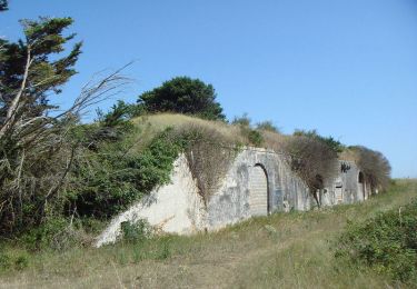
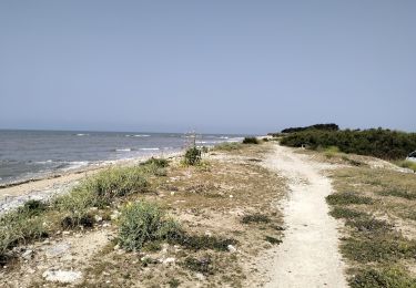
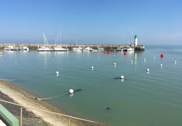
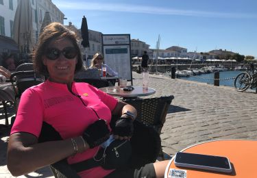
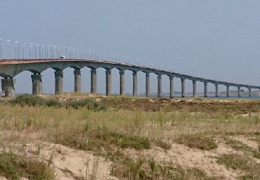
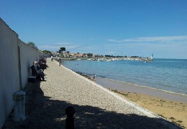
Parcours très facile. Première partie vers Rivedoux en pleine campagne avec quelques pins qui donnent un peu d'ombre. En direction de La flotte passage à L'Abbaye des Châteliers pour les amoureux des ruines (très sympa). Ensuite La Flotte, avec son petit port très agréable et retour vers Sainte marie (très linéaire). Bonne route.

Profil altimétrique

Photos

Localisation

Pays :
France
Région :
Nouvelle-Aquitaine
Département/Province :
Charente-Maritime
Commune :
Sainte-Marie-de-Ré
Localité :
Unknown
Départ:(Dec)
Départ:(UTM)
630255 ; 5112396 (30T) N.

Randonnées à proximité

Randonnée Marche Le Bois-Plage-en-Ré - Promenons-nous dans le bois -  Le Bois Plage en Ré - Photo
Marche
tracegps

Marche

Moyen
(3)
Le Bois-Plage-en-Ré, Nouvelle-Aquitaine, Charente-Maritime, France
10,3 km | 11,3 km-effort
2h 40min
Oui
Randonnée Marche Rivedoux-Plage - Sentier du littoral - Rivedoux-Plage - Photo
Marche
tracegps

Marche

Moyen
(1)
Rivedoux-Plage, Nouvelle-Aquitaine, Charente-Maritime, France
10,8 km | 11,6 km-effort
2h 30min
Oui
Randonnée Marche Rivedoux-Plage - Les Gros Peux - Rivedoux - Photo
Marche
tracegps

Marche

Facile
(5)
Rivedoux-Plage, Nouvelle-Aquitaine, Charente-Maritime, France
6,4 km | 6,8 km-effort
1h 30min
Oui
Randonnée V.T.T. Sainte-Marie-de-Ré - 17-vtt-ste-marie-rivedoux-la-flotte-st-martin-39km - Photo
V.T.T.
SyMA

V.T.T.

Moyen
Sainte-Marie-de-Ré, Nouvelle-Aquitaine, Charente-Maritime, France
39 km | 42 km-effort
4h 50min
Oui
Randonnée Marche Rivedoux-Plage - Rivedoux plage - Photo
Marche
richardsimopons

Marche

Difficile
Rivedoux-Plage, Nouvelle-Aquitaine, Charente-Maritime, France
11,6 km | 12,3 km-effort
2h 51min
Oui
Randonnée A pied Rivedoux-Plage - Sentier du littoral - Photo
A pied
PRO

A pied

Facile
Rivedoux-Plage, Nouvelle-Aquitaine, Charente-Maritime, France
10,6 km | 11,5 km-effort
2h 36min
Non
Randonnée V.T.C. Sainte-Marie-de-Ré - 20200908 île de Ré sud - Photo
V.T.C.
NanardPet

V.T.C.

Très facile
Sainte-Marie-de-Ré, Nouvelle-Aquitaine, Charente-Maritime, France
42 km | 44 km-effort
7h 20min
Oui
Randonnée V.T.T. Le Bois-Plage-en-Ré - Village océanique (Bois plage) - La Flotte - Rivedoux - Le Pont - St Marie en boucle - Photo
V.T.T.
SabetMick

V.T.T.

Facile
Le Bois-Plage-en-Ré, Nouvelle-Aquitaine, Charente-Maritime, France
32 km | 34 km-effort
4h 44min
Oui
Randonnée Marche Rivedoux-Plage - Ile de Ré-La Flotte Rivedoux - Photo
Marche
Bobol

Marche

Facile
Rivedoux-Plage, Nouvelle-Aquitaine, Charente-Maritime, France
21 km | 23 km-effort
4h 24min
Non


Fermer
Mes abonnements