


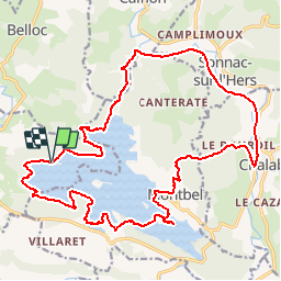

15,8 km | 18,4 km-effort


Utilisateur


Application GPS de randonnée GRATUITE
 SityTrail
IGN / Instituts géographiques
SityTrail World
Le monde est à vous
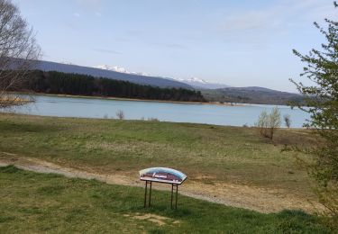
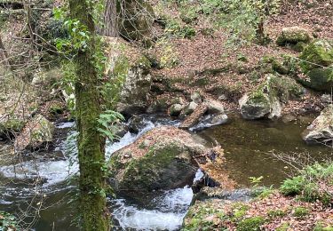
Randonnée V.T.T. de 25 km à découvrir à Occitanie, Ariège, Léran. Cette randonnée est proposée par tracegps.
Toutes les infos sur cette sortie sont sur le site des Vttayres du Sabarthès qui ont fait le relevé terrain.

Marche

A pied

Canoë - kayak

V.T.T.
V.T.T.
Cheval
Cheval
Marche
Marche
bonne rando vtt un peu physique sur la fin surtout a cause de la boue...