


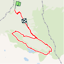

11 km | 16,7 km-effort

Utilisateur


Application GPS de randonnée GRATUITE
 SityTrail
IGN / Instituts géographiques
SityTrail World
Le monde est à vous
Randonnée Marche de 10,7 km à découvrir à Occitanie, Haute-Garonne, Castillon-de-Larboust. Cette randonnée est proposée par tracegps.
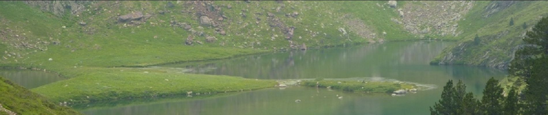
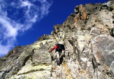
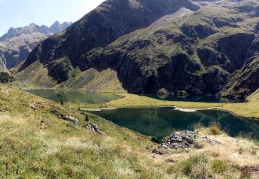
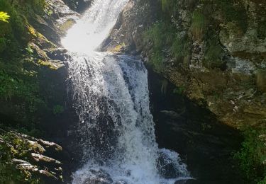
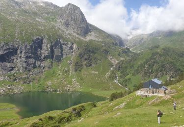
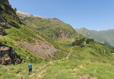
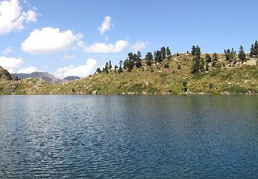
Randonnée en Haute Garonne. De Bagnères de Luchon, prendre la direction Superbagnères puis dans un virage prendre vallée du Lis ou Lys D46. Au bout de cette route un cul de sac, passer sur pont à gauche, se garer, début de la balade. Randonnée accessible à tous, faite le 10 juillet, des fleurs partout, des cascades, encore quelques névés, à éviter par temps de pluie.


V.T.T.
Marche
A pied

Marche
Marche
Marche
Marche
A pied
A pied