


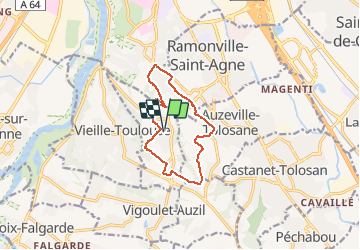

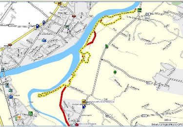
10,5 km | 12,6 km-effort

Utilisateur


Application GPS de randonnée GRATUITE
 SityTrail
IGN / Instituts géographiques
SityTrail World
Le monde est à vous
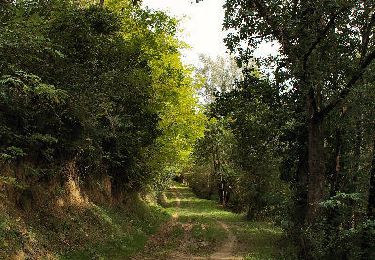
Randonnée Marche de 11,2 km à découvrir à Occitanie, Haute-Garonne, Pechbusque. Cette randonnée est proposée par tracegps.
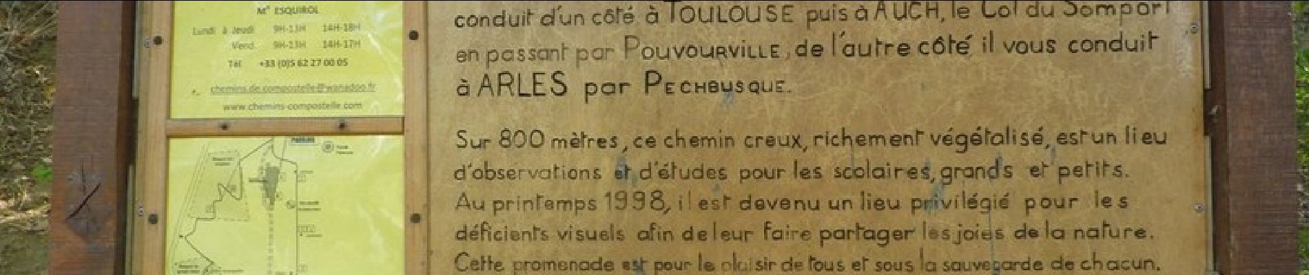
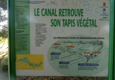
Départ de l'église de Pechbusque, agréable et beau panorama sur les Pyrénées.


Marche
Marche
Marche
Marche
Marche
Marche
Marche
Marche
Marche