Randonnée Marche nordique Bordères-sur-l'Échez - bois du Commandeur  - Photo
 GIRAUDEL
GIRAUDEL

Utilisateur

© OpenStreetMap contributors
Longueur
Longueur
5 km
Altitude max
Altitude max
314 m
Dénivelé positif
Dénivelé positif
45 m
Km-Effort
Km-Effort  
5,6 km
Altitude min
Altitude min
288 m
Dénivelé négatif
Dénivelé négatif
45 m
Boucle
Boucle
Oui
Date de création :
2019-01-15 19:14:59.676
Dernière modification :
2019-01-15 19:14:59.676

(0 Avis)

Marche nordique
Marche nordique
1h22
Difficulté : Très facile

Scannez ce code QR pour ouvrir la randonnée dans l'application SityTrail

Application GPS de randonnée GRATUITE

Logo SityTrail SityTrail

IGN / Instituts géographiques

Télécharger SityTrail sur l'App Store Télécharger SityTrail sur Google Play

Logo SityTrail SityTrail World

Le monde est à vous

Télécharger SityTrail sur l'App Store Télécharger SityTrail sur Google Play Télécharger SityTrail sur Huawei AppGallery

À propos

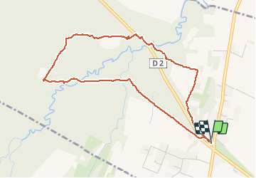
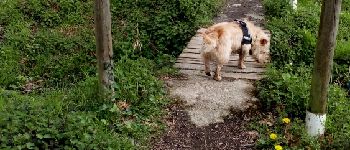
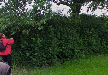
Randonnée Marche nordique de 5 km à découvrir à Occitanie, Hautes-Pyrénées, Bordères-sur-l'Échez. Cette randonnée est proposée par GIRAUDEL.

Description

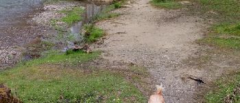
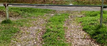
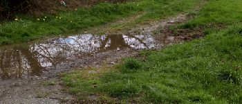
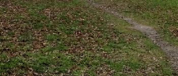
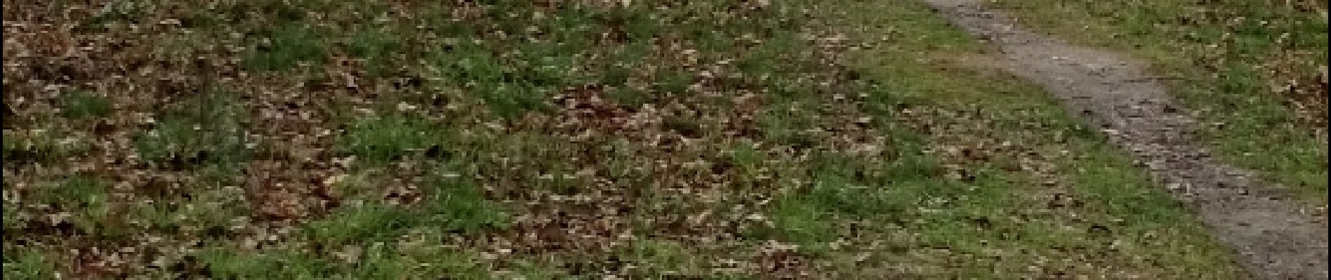
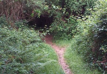
Bois du Commandeur côté Bordères sur Echez.
Parcours pour organiser un jeu d'orientation
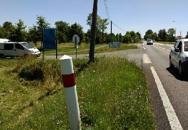
départ du parking au croisement de la D2 (vers Pintac) et D93

Profil altimétrique

Photos

Points d'intérêt

Point d'intérêt Bordères-sur-l'Échez - Point 1 banc - Photo
GIRAUDEL
BORDÈRES-SUR-L'ÉCHEZ 
Point d'intérêt Bordères-sur-l'Échez - Point 2 - Photo
GIRAUDEL
BORDÈRES-SUR-L'ÉCHEZ 
Point d'intérêt Bordères-sur-l'Échez - Point 4 - Photo
GIRAUDEL
BORDÈRES-SUR-L'ÉCHEZ 
Point d'intérêt Bordères-sur-l'Échez - Point 6 - Photo
GIRAUDEL
BORDÈRES-SUR-L'ÉCHEZ 
Point d'intérêt Bordères-sur-l'Échez - Point 7 - Photo
GIRAUDEL
BORDÈRES-SUR-L'ÉCHEZ 
Point d'intérêt Bordères-sur-l'Échez - Point 8 - Photo
GIRAUDEL
BORDÈRES-SUR-L'ÉCHEZ 
Point d'intérêt Bordères-sur-l'Échez - Point 9 - Photo
GIRAUDEL
BORDÈRES-SUR-L'ÉCHEZ 
Point d'intérêt Bordères-sur-l'Échez - Point 10 - Photo
GIRAUDEL
BORDÈRES-SUR-L'ÉCHEZ 
Point d'intérêt Bordères-sur-l'Échez - Point 11 - Photo
GIRAUDEL
BORDÈRES-SUR-L'ÉCHEZ 
Point d'intérêt Bordères-sur-l'Échez - Point 12 - Photo
GIRAUDEL
BORDÈRES-SUR-L'ÉCHEZ 
Point d'intérêt Bordères-sur-l'Échez - Point 14 - Photo
GIRAUDEL
BORDÈRES-SUR-L'ÉCHEZ 
Point d'intérêt Bordères-sur-l'Échez - Point 15 - Photo
GIRAUDEL
BORDÈRES-SUR-L'ÉCHEZ 
Point d'intérêt Bordères-sur-l'Échez - Point 16 - Photo
GIRAUDEL
BORDÈRES-SUR-L'ÉCHEZ 
Point d'intérêt Bordères-sur-l'Échez - Point 1 - Photo
GIRAUDEL
BORDÈRES-SUR-L'ÉCHEZ 
Point d'intérêt Bordères-sur-l'Échez - Départ Arrivée - Photo
GIRAUDEL
BORDÈRES-SUR-L'ÉCHEZ 

Localisation

Pays :
France
Région :
Occitanie
Département/Province :
Hautes-Pyrénées
Commune :
Bordères-sur-l'Échez
Localité :
Unknown
Départ:(Dec)
Départ:(UTM)
258690 ; 4794391 (31T) N.

Randonnées à proximité

Randonnée Marche Ibos - MN2 ibos bois de bergos   - Photo
Marche
nadami

Marche

Moyen
(1)
Ibos, Occitanie, Hautes-Pyrénées, France
8,9 km | 11,5 km-effort
2h 19min
Oui
Randonnée A pied Tarbes - Le Chemin Vert - Photo
A pied
PRO

A pied

Moyen
Tarbes, Occitanie, Hautes-Pyrénées, France
18,6 km | 22 km-effort
4h 54min
Non
Randonnée Marche nordique Ibos - MN1 serre Caute BOIS DE BROUHENA - Photo
Marche nordique
nadami

Marche nordique

Très facile
(1)
Ibos, Occitanie, Hautes-Pyrénées, France
11,5 km | 14 km-effort
2h 32min
Oui
Randonnée Marche Oroix - Oroix RS longFait - Photo
Marche
LouisROGER

Marche

Très facile
Oroix, Occitanie, Hautes-Pyrénées, France
5,1 km | 5,6 km-effort
2h 34min
Oui
Randonnée Marche nordique Ibos - bergos nordique fait - Photo
Marche nordique
LouisROGER

Marche nordique

Très facile
Ibos, Occitanie, Hautes-Pyrénées, France
8,5 km | 10,2 km-effort
2h 21min
Oui
Randonnée Marche Oroix - SityTrail - bois d oroix Mn2 - Photo
Marche
LouisROGER

Marche

Moyen
(1)
Oroix, Occitanie, Hautes-Pyrénées, France
7,7 km | 9,3 km-effort
2h 1min
Oui
Randonnée Autre activité Bordères-sur-l'Échez - Sans titre - Photo
Autre activité
GIRAUDEL

Autre activité

Très facile
Bordères-sur-l'Échez, Occitanie, Hautes-Pyrénées, France
5 km | 5,6 km-effort
1h 22min
Oui
Randonnée Marche Ibos - boisduc - Photo
Marche
LouisROGER

Marche

Très facile
Ibos, Occitanie, Hautes-Pyrénées, France
4,4 km | 4,9 km-effort
1h 10min
Oui
Randonnée A pied Oroix - OROIX  RS Oroix village  RS - Photo
A pied
GUIDE
marmotte65

A pied

Très facile
Oroix, Occitanie, Hautes-Pyrénées, France
4,7 km | 5,1 km-effort
Inconnu
Oui


Fermer
Mes abonnements