


32 km | 45 km-effort

Utilisateur


Application GPS de randonnée GRATUITE
 SityTrail
IGN / Instituts géographiques
SityTrail World
Le monde est à vous
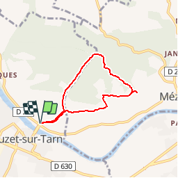
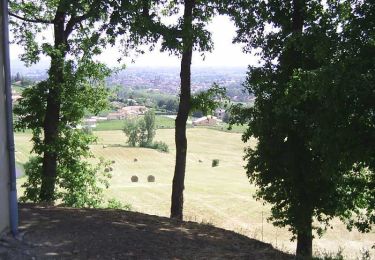
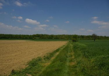
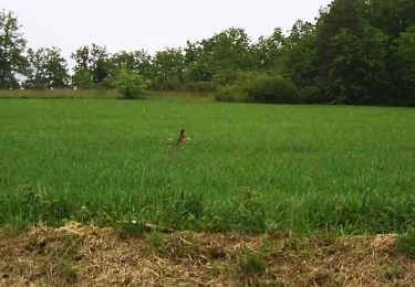
Randonnée Marche de 5,7 km à découvrir à Occitanie, Haute-Garonne, Buzet-sur-Tarn. Cette randonnée est proposée par tracegps.
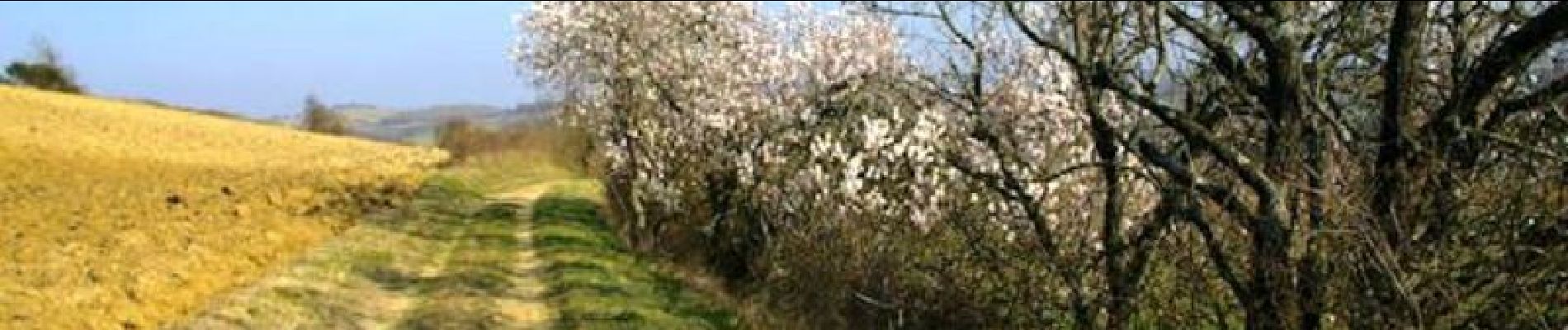
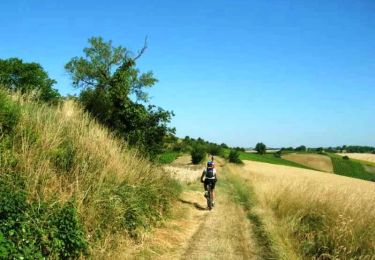
Une boucle par la vallée de la Sauzière entre Buzet sur Tarn et Mézens. D’autres informations et photos sont disponibles ICI Balade proposée par « Les Balades et Randonnées de Fred »


V.T.T.
V.T.T.
V.T.T.
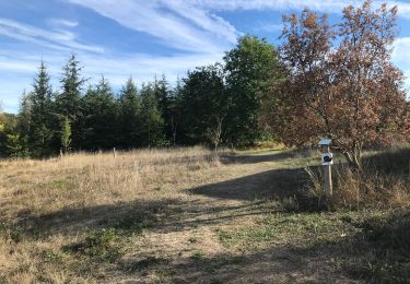
Marche
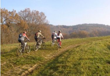
V.T.T.
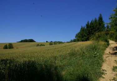
Marche
Marche
Vélo