Randonnée Marche Kruth - Le Grand Ventron - Photo
 tracegps
tracegps

Utilisateur

© OpenStreetMap contributors
Longueur
Longueur
14,9 km
Altitude max
Altitude max
1202 m
Dénivelé positif
Dénivelé positif
888 m
Km-Effort
Km-Effort  
27 km
Altitude min
Altitude min
532 m
Dénivelé négatif
Dénivelé négatif
881 m
Boucle
Boucle
Oui
Date de création :
2014-12-10 00:00:00.0
Dernière modification :
2014-12-10 00:00:00.0

(0 Avis)

Marche
Marche
5h30
Difficulté : Difficile

Scannez ce code QR pour ouvrir la randonnée dans l'application SityTrail

Application GPS de randonnée GRATUITE

Logo SityTrail SityTrail

IGN / Instituts géographiques

Télécharger SityTrail sur l'App Store Télécharger SityTrail sur Google Play

Logo SityTrail SityTrail World

Le monde est à vous

Télécharger SityTrail sur l'App Store Télécharger SityTrail sur Google Play Télécharger SityTrail sur Huawei AppGallery

À propos

Randonnée Marche de 14,9 km à découvrir à Grand Est, Haut-Rhin, Kruth. Cette randonnée est proposée par tracegps.

Description

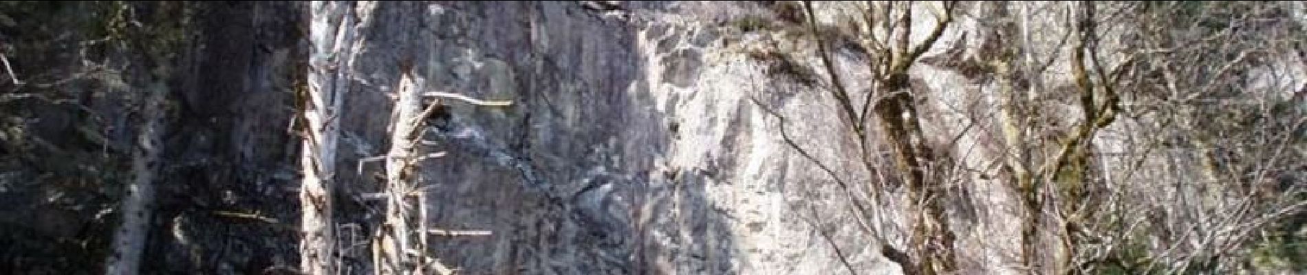
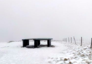
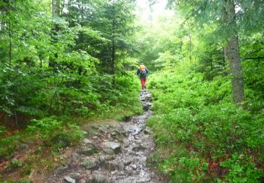
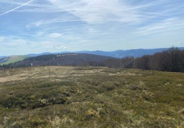
Le Grand Ventron. Randonnée en boucle à partir du barrage de Kruth-Wildenstein. Elle permet de traverser les pentes boisées du massif du Ventron et d'obtenir une vue imprenable sur les principaux sommets de la vallée de la Thur. Découvrez la suite sur le site de la Communauté des Crapahuteurs.

Profil altimétrique

Photos

Localisation

Pays :
France
Région :
Grand Est
Département/Province :
Haut-Rhin
Commune :
Kruth
Localité :
Unknown
Départ:(Dec)
Départ:(UTM)
347750 ; 5313204 (32T) N.

Randonnées à proximité

Randonnée Marche Wildenstein - 2022-02-20 Marche Kruth Grand Ventron - Photo
Marche
GUIDE
holtzv

Marche

Très difficile
(1)
Wildenstein, Grand Est, Haut-Rhin, France
16,8 km | 27 km-effort
4h 52min
Oui
Randonnée Marche La Bresse - Autour du Lac des Corbeaux - Photo
Marche
Alfredy

Marche

Moyen
(1)
La Bresse, Grand Est, Vosges, France
3,1 km | 6 km-effort
1h 30min
Oui
Randonnée Marche La Bresse - Le Lac des Corbeaux - La Bresse - Photo
Marche
tracegps

Marche

Moyen
(2)
La Bresse, Grand Est, Vosges, France
3 km | 6 km-effort
2h 0min
Oui
Randonnée Marche Fellering - Felsach _chapelle ST Nicolas_frenz - Photo
Marche
Le grand Claude

Marche

Difficile
(1)
Fellering, Grand Est, Haut-Rhin, France
9,6 km | 16,5 km-effort
3h 45min
Oui
Randonnée Marche Oderen - 68 Chapelle St Nicolas - FA du Felsach (1 + 2) - Photo
Marche

Marche

Moyen
(1)
Oderen, Grand Est, Haut-Rhin, France
10,9 km | 17,9 km-effort
3h 41min
Oui
Randonnée Marche La Bresse - lac des corbeaux, le grand ventron  - Photo
Marche
grattounette

Marche

Difficile
(1)
La Bresse, Grand Est, Vosges, France
22 km | 35 km-effort
7h 39min
Oui
Randonnée Marche Kruth - barrage de Wildenstein et Grand Ventron - Photo
Marche
egodard

Marche

Moyen
(1)
Kruth, Grand Est, Haut-Rhin, France
13,7 km | 24 km-effort
4h 40min
Oui
Randonnée Marche Oderen - trek alsacien (1ère étape) - Photo
Marche
Godasses et Grosses Pattes

Marche

Moyen
Oderen, Grand Est, Haut-Rhin, France
9,2 km | 18,1 km-effort
4h 0min
Non
Randonnée Marche Metzeral - 24 04 14 autour d’Uffrain - Photo
Marche
jmbilger

Marche

Metzeral, Grand Est, Haut-Rhin, France
70 km | 83 km-effort
3h 45min
Non


Fermer
Mes abonnements