Randonnée Marche Broglie - Circuit du Prieuré - Broglie - Photo

Circuit du Prieuré - Broglie

 tracegps
tracegps

Utilisateur

© OpenStreetMap contributors
Longueur
Longueur
13,2 km
Altitude max
Altitude max
201 m
Dénivelé positif
Dénivelé positif
131 m
Km-Effort
Km-Effort  
14,9 km
Altitude min
Altitude min
138 m
Dénivelé négatif
Dénivelé négatif
129 m
Boucle
Boucle
Oui
Date de création :
2014-12-10 00:00:00.0
Dernière modification :
2014-12-10 00:00:00.0

(1 Avis)

Marche
Marche
3h19
Difficulté : Difficile

Scannez ce code QR pour ouvrir la randonnée dans l'application SityTrail

Application GPS de randonnée GRATUITE

Logo SityTrail SityTrail

IGN / Instituts géographiques

Télécharger SityTrail sur l'App Store Télécharger SityTrail sur Google Play

Logo SityTrail SityTrail World

Le monde est à vous

Télécharger SityTrail sur l'App Store Télécharger SityTrail sur Google Play Télécharger SityTrail sur Huawei AppGallery

À propos

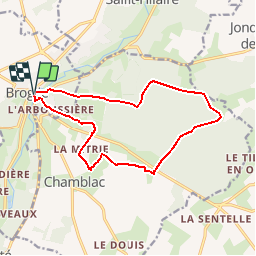
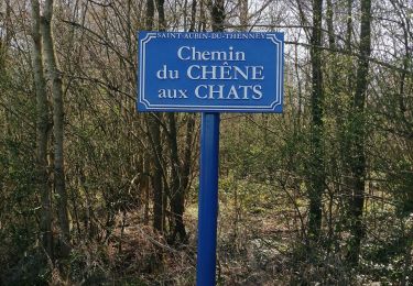
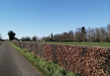
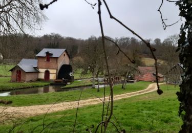
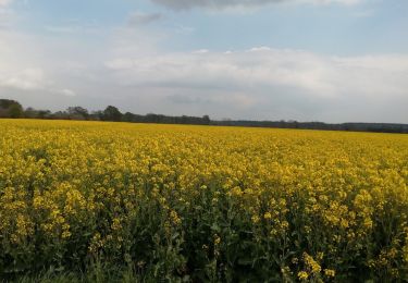
Randonnée Marche de 13,2 km à découvrir à Normandie, Eure, Broglie. Cette randonnée est proposée par tracegps.

Description

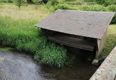
Circuit proposé par la. Communauté de Communes du Canton de Broglie. Départ du parking du jardin aquatique de Broglie.

Profil altimétrique

Photos

Localisation

Pays :
France
Région :
Normandie
Département/Province :
Eure
Commune :
Broglie
Localité :
Unknown
Départ:(Dec)
Départ:(UTM)
319429 ; 5431305 (31U) N.

Commentaires

Veuillez vous connecter pour laisser un commentaire ou une note


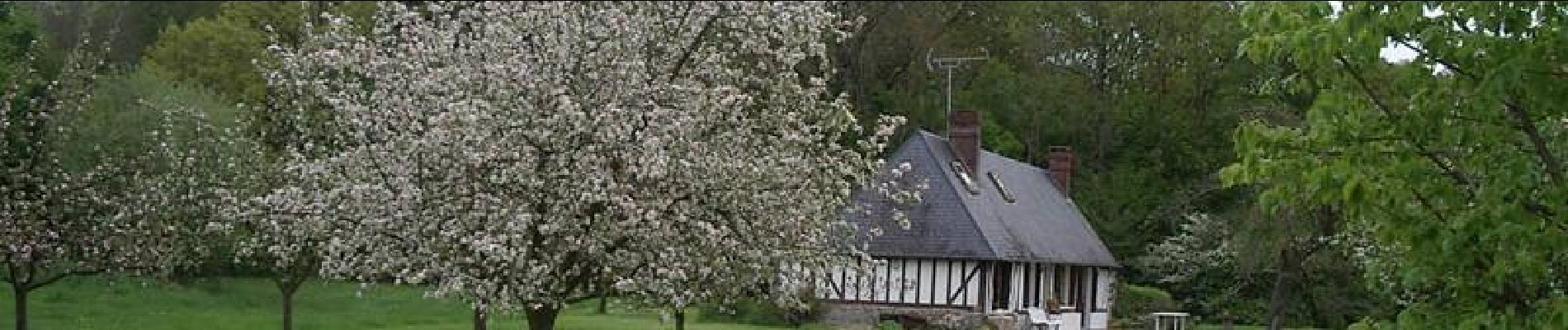
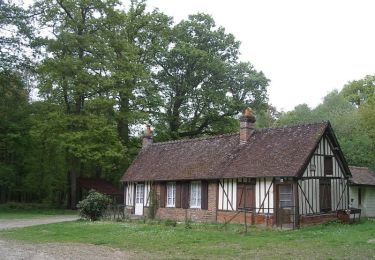
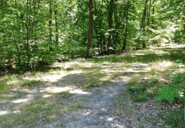
belle balade en foret mais qq ornieres. apres la pluie


Randonnées à proximité

Randonnée Marche Ferrières-Saint-Hilaire - Ferrières St Hilaire - Photo
Marche
FROIDMONT

Marche

Très facile
(1)
Ferrières-Saint-Hilaire, Normandie, Eure, France
9,4 km | 11,3 km-effort
2h 25min
Oui
Randonnée Marche Chamblac - Circuit de Bonneville  -  Chamblac - Photo
Marche
tracegps

Marche

Moyen
Chamblac, Normandie, Eure, France
11,2 km | 12 km-effort
2h 45min
Oui
Randonnée Vélo Broglie - Boucle des 3 Maréchaux  -  Broglie - Photo
Vélo
tracegps

Vélo

Moyen
Broglie, Normandie, Eure, France
18,5 km | 20 km-effort
1h 15min
Oui
Randonnée Marche Saint-Aubin-du-Thenney - boucle de St Aubin  - Photo
Marche
ymarvin

Marche

Facile
Saint-Aubin-du-Thenney, Normandie, Eure, France
5,2 km | 5,7 km-effort
1h 1min
Oui
Randonnée Marche Chamblac - Le Chamblac - Photo
Marche
ymarvin

Marche

Facile
Chamblac, Normandie, Eure, France
9,1 km | 9,7 km-effort
1h 52min
Oui
Randonnée Marche Broglie - Broglie - Photo
Marche
werth

Marche

Moyen
Broglie, Normandie, Eure, France
10,1 km | 11,8 km-effort
2h 50min
Oui
Randonnée Marche Grand-Camp - autour de Grand camp 2 - Photo
Marche
ymarvin

Marche

Très facile
Grand-Camp, Normandie, Eure, France
5,9 km | 6,4 km-effort
1h 18min
Oui
Randonnée Marche Chamblac - Chamblac  - Photo
Marche
ymarvin

Marche

Très facile
Chamblac, Normandie, Eure, France
7,8 km | 8,3 km-effort
1h 36min
Oui
Randonnée Marche La Trinité-de-Réville - la trinite de Reville  - Photo
Marche
ymarvin

Marche

Moyen
La Trinité-de-Réville, Normandie, Eure, France
9,8 km | 12 km-effort
2h 3min
Oui


Fermer
Mes abonnements