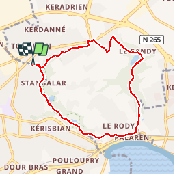


49 km | 61 km-effort

Utilisateur


Application GPS de randonnée GRATUITE
 SityTrail
IGN / Instituts géographiques
SityTrail World
Le monde est à vous
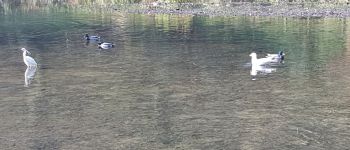
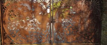
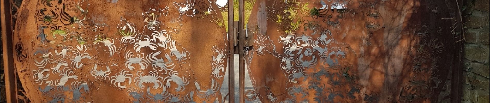
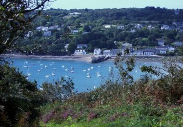
Randonnée Marche de 7,6 km à découvrir à Bretagne, Finistère, Brest. Cette randonnée est proposée par jmboucher.
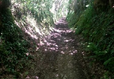
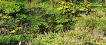
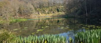
boucle entre le vallon du Stang-Alar et la vallée du Costour


V.T.T.
Marche

Marche

Marche nordique
Marche
Marche
Marche
Marche