


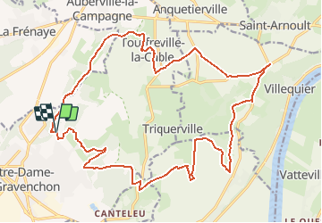


17,6 km | 23 km-effort


Utilisateur


Application GPS de randonnée GRATUITE
 SityTrail
IGN / Instituts géographiques
SityTrail World
Le monde est à vous
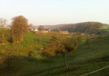
Randonnée Cheval de 24 km à découvrir à Normandie, Seine-Maritime, Port-Jérôme-sur-Seine. Cette randonnée est proposée par thle.
Cheval
V.T.T.

Cheval
V.T.T.
Marche

Marche
Marche
Marche
Marche
Beau circuit