Randonnée Marche Novéant-sur-Moselle - tour du canal noveant-arnaville - Photo

tour du canal noveant-arnaville

 thomasmangon
thomasmangon

Utilisateur

© OpenStreetMap contributors
Longueur
Longueur
4,8 km
Altitude max
Altitude max
213 m
Dénivelé positif
Dénivelé positif
49 m
Km-Effort
Km-Effort  
5,5 km
Altitude min
Altitude min
168 m
Dénivelé négatif
Dénivelé négatif
50 m
Boucle
Boucle
Oui
Date de création :
2014-12-10 00:00:00.0
Dernière modification :
2014-12-10 00:00:00.0

(0 Avis)

Marche
Marche
6h34
Difficulté : Facile

Scannez ce code QR pour ouvrir la randonnée dans l'application SityTrail

Application GPS de randonnée GRATUITE

Logo SityTrail SityTrail

IGN / Instituts géographiques

Télécharger SityTrail sur l'App Store Télécharger SityTrail sur Google Play

Logo SityTrail SityTrail World

Le monde est à vous

Télécharger SityTrail sur l'App Store Télécharger SityTrail sur Google Play Télécharger SityTrail sur Huawei AppGallery

À propos

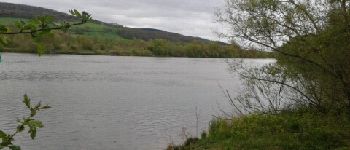
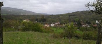
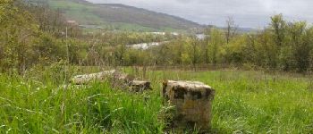
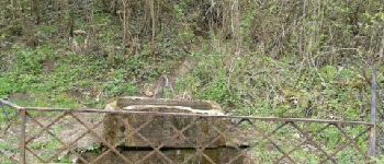
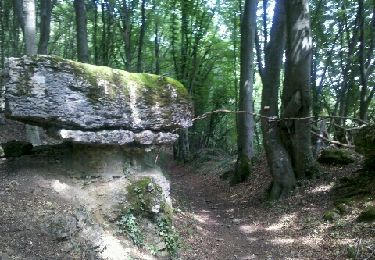
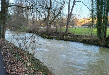
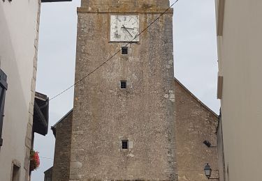
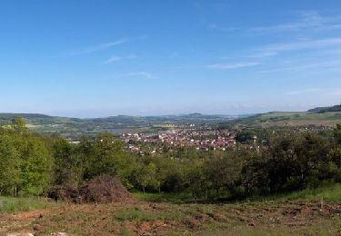
Randonnée Marche de 4,8 km à découvrir à Grand Est, Moselle, Novéant-sur-Moselle. Cette randonnée est proposée par thomasmangon.

Profil altimétrique

Photos

Points d'intérêt

Point d'intérêt Arnaville - pausse bord de moselle - Photo
thomasmangon
Point d'intérêt Arnaville - pont du canal suspendu - Photo
thomasmangon
Point d'intérêt Arnaville - vue vallee de la moselle sur arnaville - Photo
thomasmangon
Point d'intérêt Arnaville - borne frontiere franco-allemande guerre mondial - Photo
thomasmangon
Point d'intérêt Novéant-sur-Moselle - sortie eau de source - Photo
thomasmangon
NOVÉANT-SUR-MOSELLE 
Point d'intérêt Novéant-sur-Moselle - vue sur eglise de noveant - Photo
thomasmangon
NOVÉANT-SUR-MOSELLE 
Point d'intérêt Novéant-sur-Moselle - lavoir - Photo
thomasmangon
NOVÉANT-SUR-MOSELLE 
Point d'intérêt Novéant-sur-Moselle - chemin du ruiseau - Photo
thomasmangon
NOVÉANT-SUR-MOSELLE 

Localisation

Pays :
France
Région :
Grand Est
Département/Province :
Moselle
Commune :
Novéant-sur-Moselle
Localité :
Unknown
Départ:(Dec)
Départ:(UTM)
284326 ; 5434142 (32U) N.

Randonnées à proximité

Randonnée Marche Ancy-Dornot - Dornot - Croix saint clément - pierre qui tourne - rochers de la Fraze - Photo
Marche
pascalcla

Marche

Moyen
(3)
Ancy-Dornot, Grand Est, Moselle, France
13,2 km | 17,8 km-effort
3h 0min
Oui
Randonnée A pied Arry - Circuit d'Arry Nord - Photo
A pied
PRO

A pied

Facile
Arry, Grand Est, Moselle, France
3,4 km | 4,2 km-effort
57min
Non
Randonnée Marche Pagny-sur-Moselle - Pagny sur Moselle - Photo
Marche
joelclaudel

Marche

Très facile
(1)
Pagny-sur-Moselle, Grand Est, Meurthe-et-Moselle, France
18,1 km | 23 km-effort
4h 55min
Oui
Randonnée Marche Arry - Arry - côte Saint Pierre - Vezon - Marieulles - Lorry Mardigny - Arry  - Photo
Marche
jean-marie.parachini

Marche

Moyen
Arry, Grand Est, Moselle, France
13,9 km | 18 km-effort
24h 12min
Oui
Randonnée Marche Arnaville - ARNAVILLE - LES AÏTRES MEDIEVAUX - Photo
Marche
jean-marie.parachini

Marche

Facile
Arnaville, Grand Est, Meurthe-et-Moselle, France
12,7 km | 15,6 km-effort
3h 51min
Oui
Randonnée Marche Arnaville - ARNAVILLE - LA VALLEE DU RUPT DE MAD - Photo
Marche
jean-marie.parachini

Marche

Facile
Arnaville, Grand Est, Meurthe-et-Moselle, France
9,9 km | 13,5 km-effort
3h 55min
Oui
Randonnée Marche Pagny-sur-Moselle - PAGNY SUR MOSELLE - VAL ET PLATEAU - Photo
Marche
jean-marie.parachini

Marche

Moyen
Pagny-sur-Moselle, Grand Est, Meurthe-et-Moselle, France
18,1 km | 23 km-effort
6h 46min
Oui
Randonnée Marche Prény - Marche Prény 2017 - Photo
Marche
pgydbt

Marche

Moyen
(1)
Prény, Grand Est, Meurthe-et-Moselle, France
9,5 km | 13 km-effort
2h 41min
Oui
Randonnée V.T.T. Pagny-sur-Moselle - Vélo et Nature 2014 - Pagny sur Moselle - Photo
V.T.T.
tracegps

V.T.T.

Moyen
Pagny-sur-Moselle, Grand Est, Meurthe-et-Moselle, France
34 km | 43 km-effort
2h 0min
Oui


Fermer
Mes abonnements