Randonnée Course à pied Thionville - Thionville le dimanche - Photo

Thionville le dimanche

 oruyer
oruyer

Utilisateur

© OpenStreetMap contributors
Longueur
Longueur
14,1 km
Altitude max
Altitude max
180 m
Dénivelé positif
Dénivelé positif
100 m
Km-Effort
Km-Effort  
15,4 km
Altitude min
Altitude min
144 m
Dénivelé négatif
Dénivelé négatif
101 m
Boucle
Boucle
Oui
Date de création :
2014-12-10 00:00:00.0
Dernière modification :
2014-12-10 00:00:00.0

(1 Avis)

Course à pied
Course à pied
1h30
Difficulté : Inconnu

Scannez ce code QR pour ouvrir la randonnée dans l'application SityTrail

Application GPS de randonnée GRATUITE

Logo SityTrail SityTrail

IGN / Instituts géographiques

Télécharger SityTrail sur l'App Store Télécharger SityTrail sur Google Play

Logo SityTrail SityTrail World

Le monde est à vous

Télécharger SityTrail sur l'App Store Télécharger SityTrail sur Google Play Télécharger SityTrail sur Huawei AppGallery

À propos

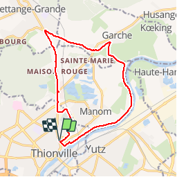
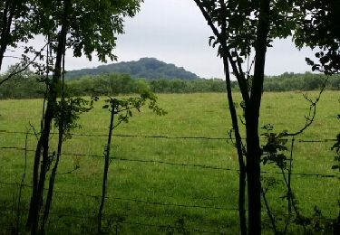
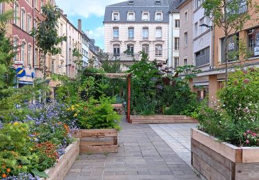
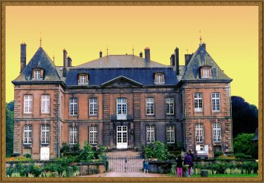
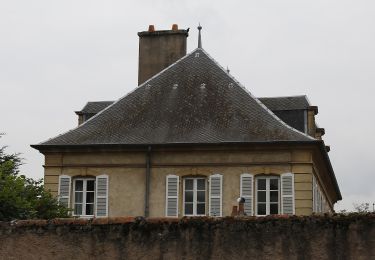
Randonnée Course à pied de 14,1 km à découvrir à Grand Est, Moselle, Thionville. Cette randonnée est proposée par oruyer.

Profil altimétrique

Localisation

Pays :
France
Région :
Grand Est
Département/Province :
Moselle
Commune :
Thionville
Localité :
Unknown
Départ:(Dec)
Départ:(UTM)
294556 ; 5471572 (32U) N.

Commentaires

Veuillez vous connecter pour laisser un commentaire ou une note


Randonnées à proximité

Randonnée Vélo Thionville - promenade du dimanche  - Photo
Vélo
albertojp

Vélo

Très facile
(1)
Thionville, Grand Est, Moselle, France
25 km | 28 km-effort
1h 40min
Oui
Randonnée Marche Thionville - Thionville oeutrange - Photo
Marche
bohynm

Marche

Très facile
(1)
Thionville, Grand Est, Moselle, France
16,4 km | 22 km-effort
3h 11min
Oui
Randonnée V.T.T. Manom - manomoise 2013 28km - Photo
V.T.T.
tiponey

V.T.T.

Moyen
(1)
Manom, Grand Est, Moselle, France
29 km | 35 km-effort
3h 24min
Oui
Randonnée A pied Yutz - Circuit Mermoz - Photo
A pied
PRO

A pied

Facile
Yutz, Grand Est, Moselle, France
4,1 km | 4,3 km-effort
59min
Non
Randonnée A pied Illange - Circuit du Fort d'Illange et Yutz - Photo
A pied
PRO

A pied

Facile
Illange, Grand Est, Moselle, France
5,2 km | 6 km-effort
1h 21min
Non
Randonnée Marche Thionville - boucle forêt Thionville - Photo
Marche
bohynm

Marche

Moyen
Thionville, Grand Est, Moselle, France
9,8 km | 13,2 km-effort
2h 7min
Oui
Randonnée Marche Thionville - thionville : je suis venu, j ai vu, je reviendrai plus - Photo
Marche
stef789

Marche

Très facile
Thionville, Grand Est, Moselle, France
6,7 km | 7,5 km-effort
3h 23min
Oui
Randonnée A pied Manom - Boucle du Château de la Grange - Photo
A pied
PRO

A pied

Facile
Manom, Grand Est, Moselle, France
5,2 km | 6,5 km-effort
1h 28min
Non
Randonnée A pied Thionville - Sentier des vignerons - Photo
A pied
PRO

A pied

Facile
Thionville, Grand Est, Moselle, France
3,4 km | 4,4 km-effort
59min
Oui


Fermer
Mes abonnements