Randonnée Marche Condom - CONDOM - Photo
 jpnice06
jpnice06

Utilisateur

© OpenStreetMap contributors
Longueur
Longueur
6,3 km
Altitude max
Altitude max
159 m
Dénivelé positif
Dénivelé positif
123 m
Km-Effort
Km-Effort  
7,9 km
Altitude min
Altitude min
71 m
Dénivelé négatif
Dénivelé négatif
123 m
Boucle
Boucle
Oui
Date de création :
2014-12-10 00:00:00.0
Dernière modification :
2014-12-10 00:00:00.0

(0 Avis)

Marche
Marche
1h54
Difficulté : Facile

Scannez ce code QR pour ouvrir la randonnée dans l'application SityTrail

Application GPS de randonnée GRATUITE

Logo SityTrail SityTrail

IGN / Instituts géographiques

Télécharger SityTrail sur l'App Store Télécharger SityTrail sur Google Play

Logo SityTrail SityTrail World

Le monde est à vous

Télécharger SityTrail sur l'App Store Télécharger SityTrail sur Google Play Télécharger SityTrail sur Huawei AppGallery

À propos

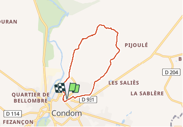
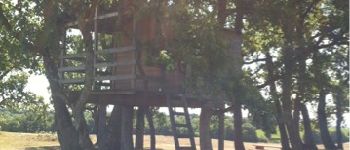
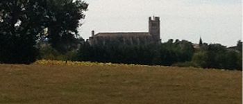
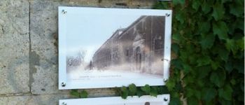
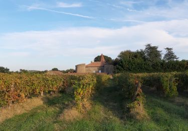
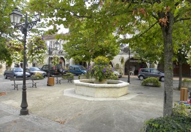
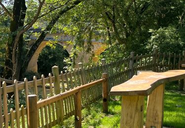
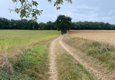
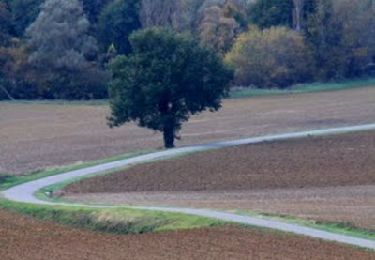
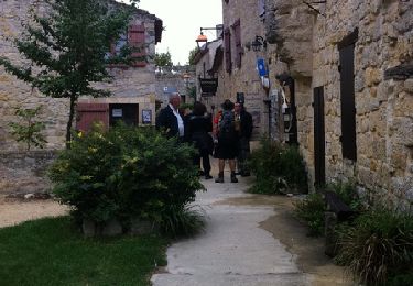
Randonnée Marche de 6,3 km à découvrir à Occitanie, Gers, Condom. Cette randonnée est proposée par jpnice06.

Description

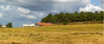
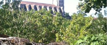
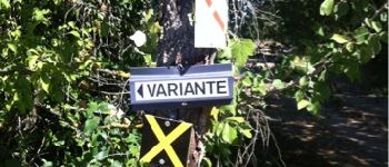
Balade agréable et facile sur le PR 1 le plus court.

Profil altimétrique

Photos

Points d'intérêt

Point d'intérêt Sos - Meylan - Photo
jpnice06
SOS 
Point d'intérêt Condom - Cathédrale - Photo
jpnice06
CONDOM 
Point d'intérêt Condom - Champ - Photo
jpnice06
CONDOM 
Point d'intérêt Condom - Indication direction - Photo
jpnice06
Point d'intérêt Condom - Jardin  - Photo
jpnice06
CONDOM 
Point d'intérêt Condom - Cathédrale - Photo
jpnice06
CONDOM 
Point d'intérêt Condom - Lycée - Photo
jpnice06
CONDOM 
Point d'intérêt Condom - Jardin public - Photo
jpnice06

Localisation

Pays :
France
Région :
Occitanie
Département/Province :
Gers
Commune :
Condom
Localité :
Unknown
Départ:(Dec)
Départ:(UTM)
289386 ; 4870765 (31T) N.

Randonnées à proximité

Randonnée Marche Condom - Graziac- Abbaye de Flaran -Valence sur Baise- Graziac - Photo
Marche
Forsans

Marche

Facile
Condom, Occitanie, Gers, France
8,8 km | 9,9 km-effort
2h 10min
Oui
Randonnée Marche Condom - Mon Compostelle onzième étape - Photo
Marche
Ardeiserois

Marche

Moyen
Condom, Occitanie, Gers, France
47 km | 57 km-effort
10h 10min
Non
Randonnée Marche Condom - Rando santé - Photo
Marche
papounet32

Marche

Très difficile
Condom, Occitanie, Gers, France
144 km | 173 km-effort
17h 3min
Non
Randonnée Marche Condom - GR 65 Condom > Montréal - Photo
Marche
choubaka77

Marche

Facile
Condom, Occitanie, Gers, France
18,7 km | 23 km-effort
5h 37min
Non
Randonnée Marche Condom - 32-03-Au Cœur de Gascogne Auch-26km-102-5571- - Photo
Marche
rvs147

Marche

Très facile
Condom, Occitanie, Gers, France
26 km | 34 km-effort
6min
Non
Randonnée Marche Condom - Autour de Condom - Photo
Marche
tracegps

Marche

Moyen
Condom, Occitanie, Gers, France
6,2 km | 7,8 km-effort
2h 0min
Oui
Randonnée Marche Condom - De Condom à Larressingle - Photo
Marche
tracegps

Marche

Difficile
Condom, Occitanie, Gers, France
16,2 km | 19,4 km-effort
3h 30min
Oui
Randonnée Marche Condom - 1 Condom - Photo
Marche
GUIDE
thonyc

Marche

Difficile
Condom, Occitanie, Gers, France
31 km | 37 km-effort
8h 57min
Non
Randonnée V.T.C. Condom - Voie verte de l'Armagnac Condom Eauze - Photo
V.T.C.
Forsans

V.T.C.

Facile
Condom, Occitanie, Gers, France
33 km | 38 km-effort
2h 30min
Non


Fermer
Mes abonnements