


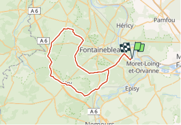

17,3 km | 20 km-effort


Utilisateur


Application GPS de randonnée GRATUITE
 SityTrail
IGN / Instituts géographiques
SityTrail World
Le monde est à vous
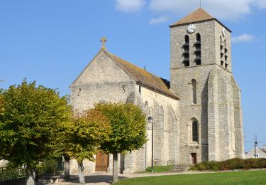
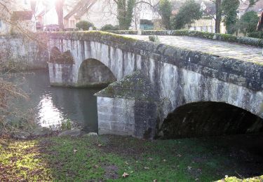
Randonnée Vélo de 61 km à découvrir à Île-de-France, Seine-et-Marne, Moret-Loing-et-Orvanne. Cette randonnée est proposée par TaxiMarne.
Boucle avec départ et retour de veneux les sablons, en passant par la route ronde, Barbizon, Arbonne, Achère, Ury et Bourron-Marlottes.

Marche

Marche
Marche

Marche

Autre activité
A pied
A pied
A pied
A pied