


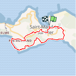

18,3 km | 26 km-effort


Utilisateur


Application GPS de randonnée GRATUITE
 SityTrail
IGN / Instituts géographiques
SityTrail World
Le monde est à vous
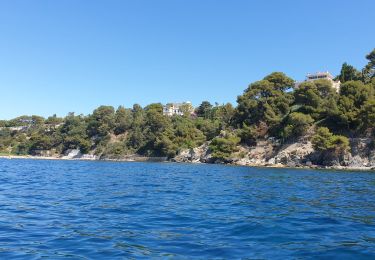
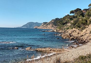
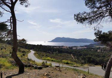
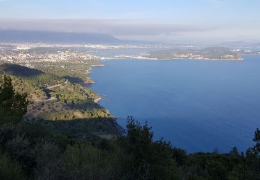
Randonnée Marche de 7,9 km à découvrir à Provence-Alpes-Côte d'Azur, Var, Saint-Mandrier-sur-Mer. Cette randonnée est proposée par P2V789.

V.T.T.
Marche

Marche
Marche nordique
Marche nordique
Canoë - kayak
Marche
Marche
Trail
belle rando bien decrite
très belle balade, le dernier tracé n'est pas fiable après le cimetière. Suivre les repères verts. Sinon pas de problèmes
merci pour l'idée