


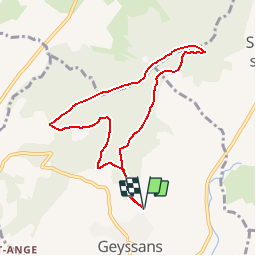


10,1 km | 13,1 km-effort


Utilisateur


Application GPS de randonnée GRATUITE
 SityTrail
IGN / Instituts géographiques
SityTrail World
Le monde est à vous
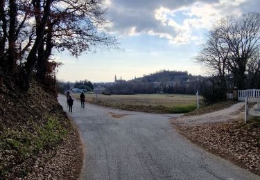
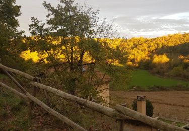
Randonnée Marche de 8 km à découvrir à Auvergne-Rhône-Alpes, Drôme, Geyssans. Cette randonnée est proposée par OscarMa.
Petite rando initiation au GPS

Marche
Marche
Marche
Marche
Marche
Marche

sport
Marche
Marche
geyssans 8 km
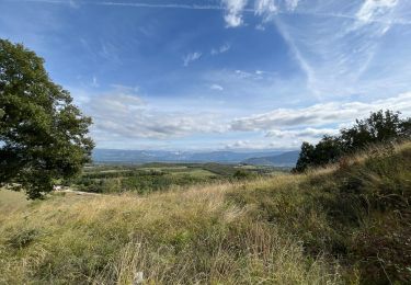
superbe ampli.