


8,4 km | 10,7 km-effort

Utilisateur


Application GPS de randonnée GRATUITE
 SityTrail
IGN / Instituts géographiques
SityTrail World
Le monde est à vous
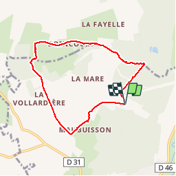
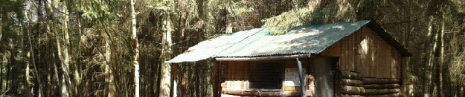
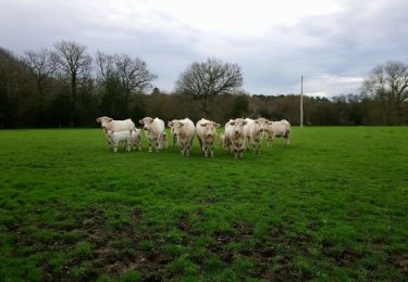
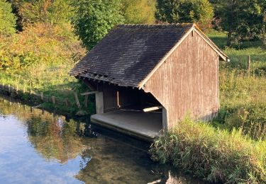
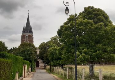
Randonnée Marche de 6,7 km à découvrir à Normandie, Eure, Serquigny. Cette randonnée est proposée par crob27.
Depart megalithe
Et boucle par pommiers.

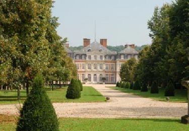
Marche
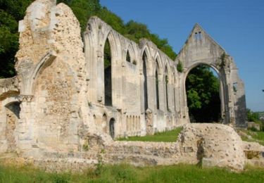
Marche
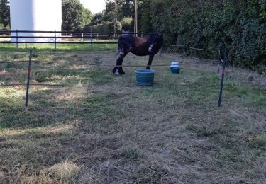
Randonnée équestre
Marche
Marche
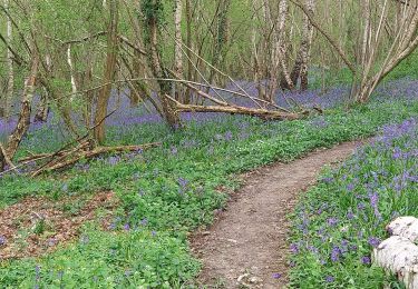
Marche
Marche
Marche
Marche