


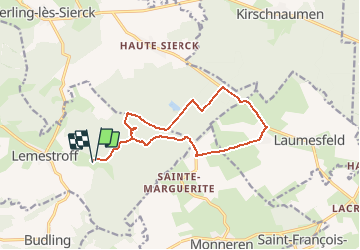

10,8 km | 14,6 km-effort


Utilisateur


Application GPS de randonnée GRATUITE
 SityTrail
IGN / Instituts géographiques
SityTrail World
Le monde est à vous
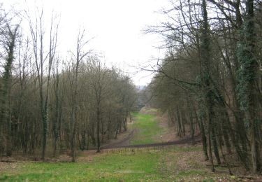
Randonnée Cheval de 12,4 km à découvrir à Grand Est, Moselle, Oudrenne. Cette randonnée est proposée par czbaue.
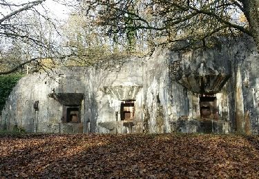
Passage très boueux et retourné par les sangliers.
Marche

A pied
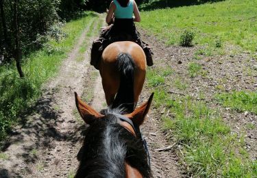
Randonnée équestre
Marche
Vélo
V.T.T.

Marche

V.T.T.