


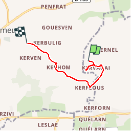

23 km | 26 km-effort


Utilisateur


Application GPS de randonnée GRATUITE
 SityTrail
IGN / Instituts géographiques
SityTrail World
Le monde est à vous
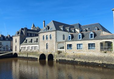
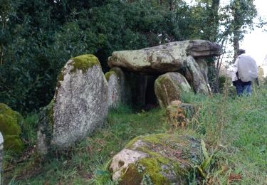
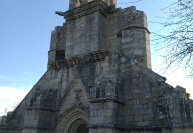
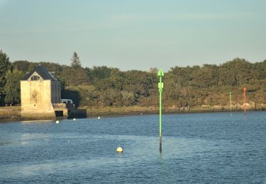
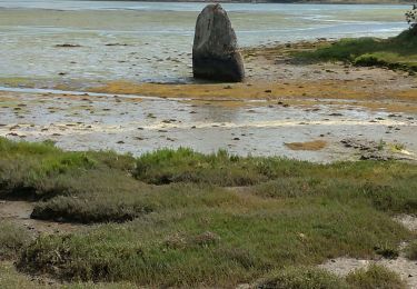
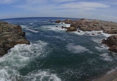
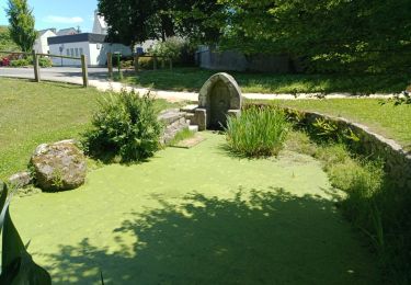
Randonnée Marche de 4 km à découvrir à Bretagne, Finistère, Plobannalec-Lesconil. Cette randonnée est proposée par pascalgrondin.


Marche
Marche


sport
A pied
Marche
V.T.T.

V.T.T.
Marche