


9,9 km | 14,2 km-effort


Utilisateur


Application GPS de randonnée GRATUITE
 SityTrail
IGN / Instituts géographiques
SityTrail World
Le monde est à vous
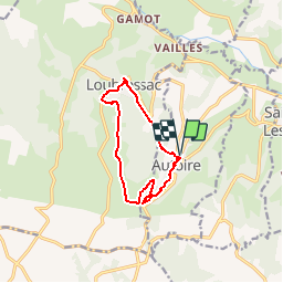
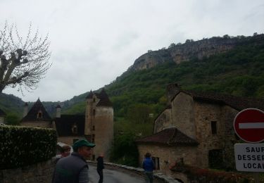
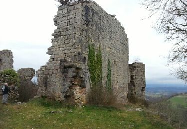
Randonnée Marche de 10,4 km à découvrir à Occitanie, Lot, Autoire. Cette randonnée est proposée par neitag61.
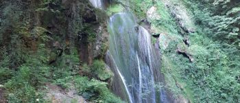
2 plus beaux villages de France en passant par la cascade d'Autoire.
quelques passages délicat pour des personnes sensibles aux vertiges.
à faire de préférence dans le sens horaire.
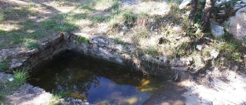
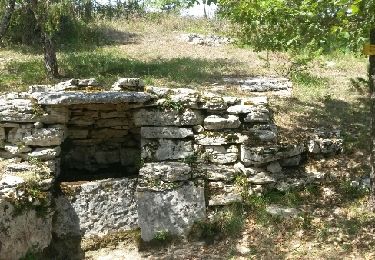
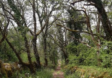
 - Photo 1")
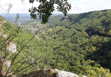
 - Photo 2")
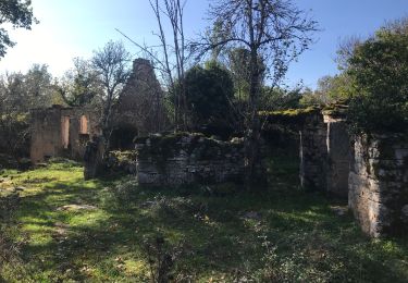
 - Photo 3")
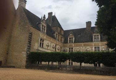
 - Photo 4")
 - Photo 5")
 - Photo 6")
Marche

Marche
Marche

A pied
Marche
Marche
Marche