


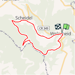


10,7 km | 12,6 km-effort


Randonnées de Visit Luxembourg. GUIDE+


Application GPS de randonnée GRATUITE
 SityTrail
IGN / Instituts géographiques
SityTrail World
Le monde est à vous
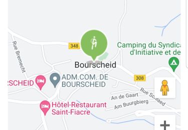
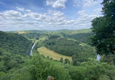
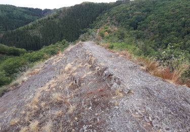
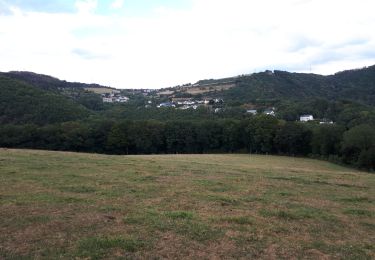
Randonnée Marche de 6,8 km à découvrir à Inconnu, Canton Diekirch, Bourscheid. Cette randonnée est proposée par Visit Luxembourg.
Marche

V.T.T.

Marche
Marche
Marche
Marche
A pied
Marche
Marche
Tres belle balade. Plat le premier tiers, montee le deuxième tiers et on termine par une belle descente. D apres mon GPS elle fait 7,8km et on l a faite a notre aise en 144 min.