


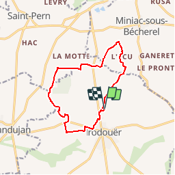

6,6 km | 7,8 km-effort


Utilisateur


Application GPS de randonnée GRATUITE
 SityTrail
IGN / Instituts géographiques
SityTrail World
Le monde est à vous
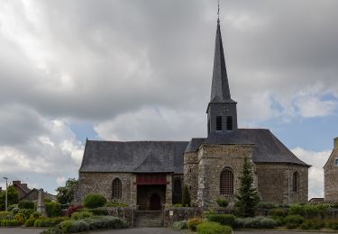
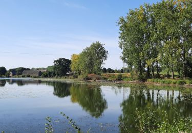
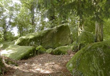
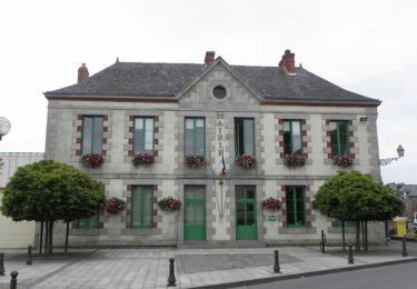
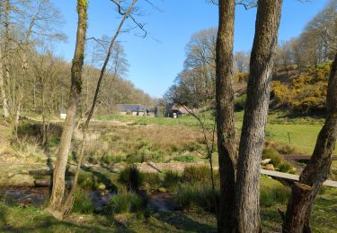
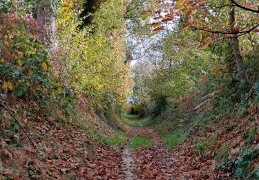
Randonnée Cheval de 11,8 km à découvrir à Bretagne, Ille-et-Vilaine, Irodouër. Cette randonnée est proposée par artoquin.
A pied

A pied
Marche
Marche
Marche
Marche

A pied
Marche
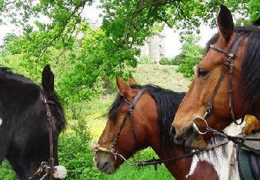
Cheval