


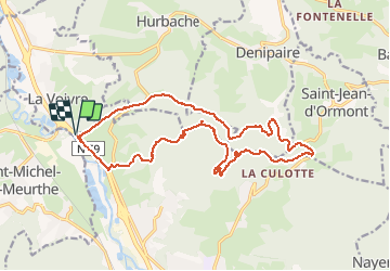

28 km | 37 km-effort


Utilisateur GUIDE

Application GPS de randonnée GRATUITE
 SityTrail
IGN / Instituts géographiques
SityTrail World
Le monde est à vous
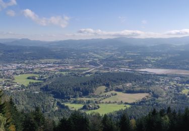
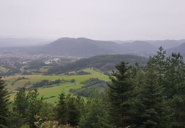
Randonnée V.T.T. de 18,6 km à découvrir à Grand Est, Vosges, Saint-Dié-des-Vosges. Cette randonnée est proposée par fabwin.
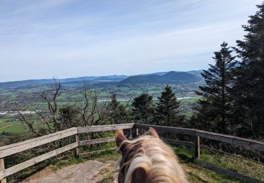
Randonnée équestre
V.T.T.

Marche

Vélo
Marche
Marche
Marche

Marche

Autre activité