


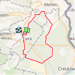

8,7 km | 10,4 km-effort

Utilisateur


Application GPS de randonnée GRATUITE
 SityTrail
IGN / Instituts géographiques
SityTrail World
Le monde est à vous
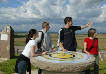
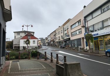
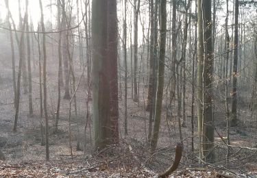
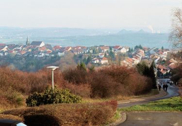
Randonnée Marche de 14 km à découvrir à Grand Est, Moselle, Falck. Cette randonnée est proposée par Cagolette_lover.
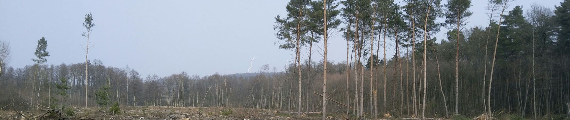
marche en foret

Marche
Marche
Vélo
A pied
A pied
A pied
Marche
A pied
Marche